
We started travelling a bit later this morning. Although we’re all organized, the weather is apparently going to change. So I decided to pre-cook a few things so that we can just heat up dinner in the cabin should it be too chilly.
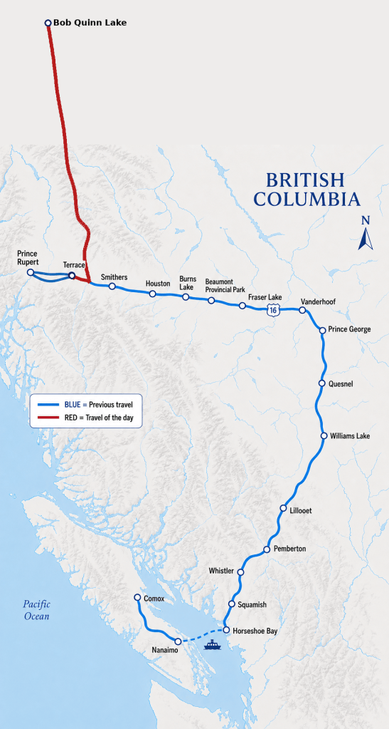
When we left camp near Terrace, the temperature was 23 degrees. That was before noon.
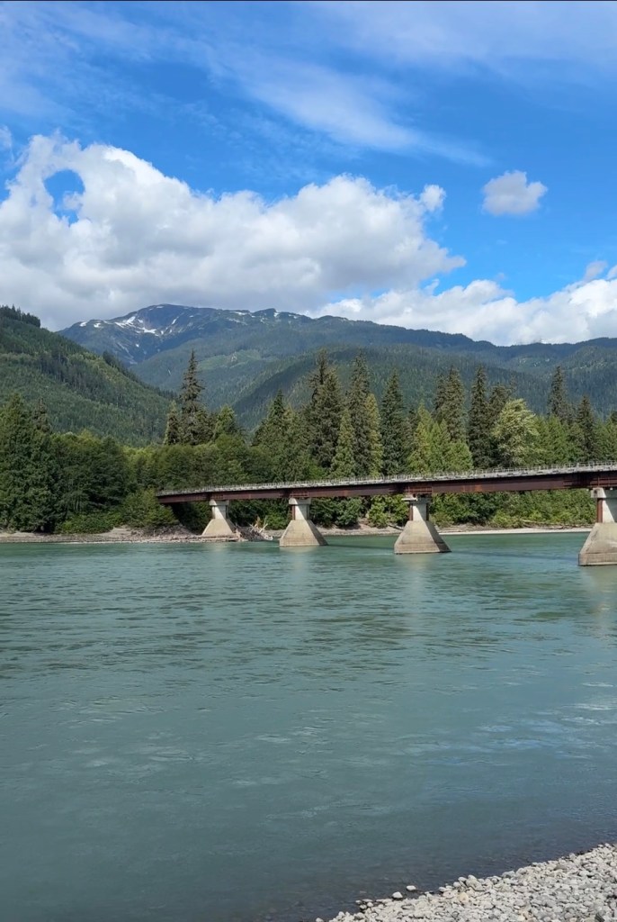
We weren’t on the road too long before it began to rain in fits and spurts. Long enough to clean off the front windshield from carnage that was once there-and will be again.
It didn’t rain a lot – but the clouds were pretty low. So we changed plans and decided to not go to Stewart, BC. Stewart isn’t a big place, but its beauty is one of a kind. With the clouds low, we won’t see much, so we’ll check on the way back.
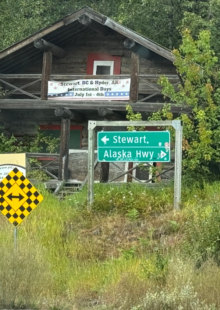
So we hung a right.
We said goodbye to Yellowhead Highway 16 and on to the Stewart-Cassiar Highway 37 North. Seeing the names of some of these places makes me smile. When I worked in aviation, I would hear the names like Stewart, Bell ll, Bob Quinn Lake, Dease Lake… and now I can wrap my brain around where these places are.
Highway 37 is a well-maintained highway that is enjoyable to travel on. It’s narrow. There is zero shoulder on either side.
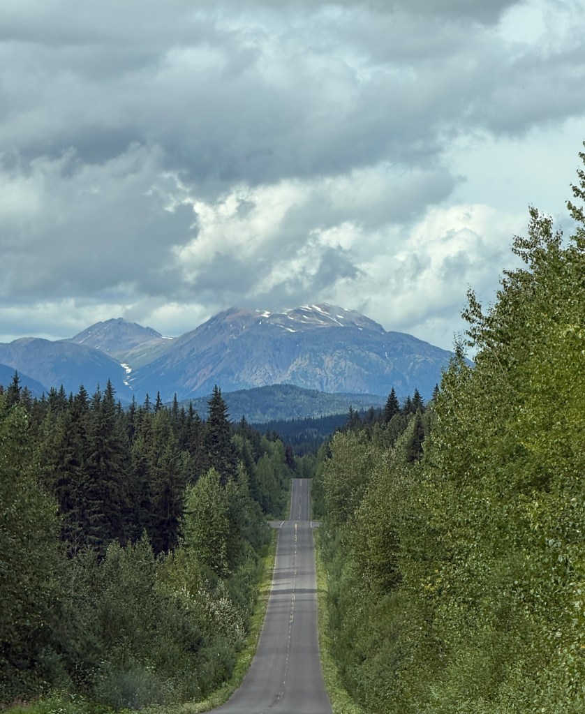
I’m taken with the trees here (again)
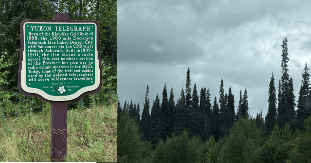
They are tall, strong, but so narrow. I believe they are a mix of Subalpine Fir and White Spruce.
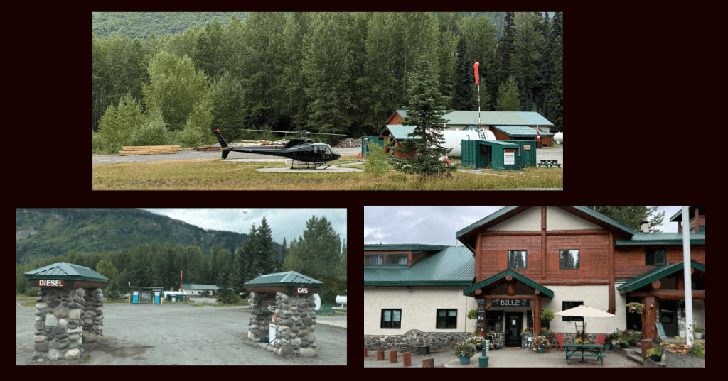
We fuelled up at Bell ll (Bell 2 Lodge) just intime to see this pilot pop in, and take off.
Bell 2 Lodge has been serving travelers along the Stewart-Cassiar highway since the 1970’s. Since that time, Bell 2 has transformed itself into a must-stop destination for travelers bound between BC and the Yukon/Alaska. In the winter months, Bell 2 Lodge is home to Last Frontier Helisking.
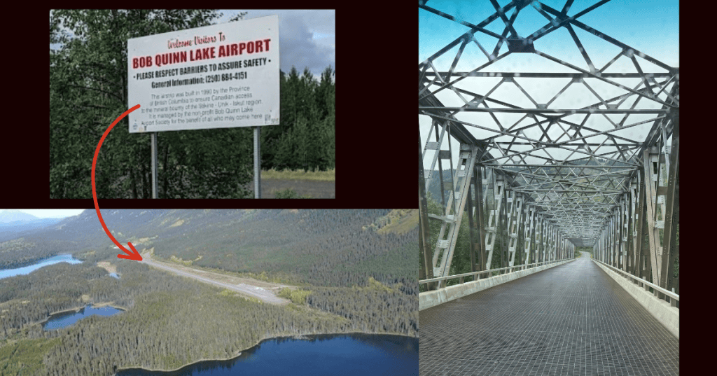
We decided after that stop we’d start to look for camp. We decided to stay a few minutes past Bob Quinn Airport. I took a photo from google, as from the road, it just looks like a dirt airstrip. That’s what it is!
From their website:
The Bob Quinn Lake aerodrome (YBO/CBW4) is located near Bob Quinn Lake, British Columbia, alongside Highway 37, the Stewart-Cassiar Highway, within the territory of the Tahltan Nation.
The 1,280 metre (4,200 feet) and 30.5 metre (100 feet) wide gravel airstrip is unstaffed. Please verify weather conditions before use (weather data is generally available from April to September annually).
All users must pay landing fees! (take-offs are free!).
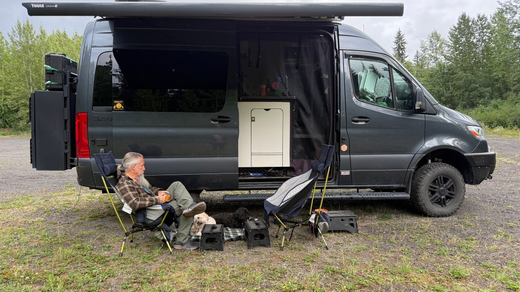
We found the spot we decided to stay. Tonight’s dinner is Eric’s famous smoked pork shoulder, fresh corn, carrots, and potatoes. Not bad for being in total isolation out here!
It’s remarkable how quiet it is here. The birds are bigger, and the call of a Raven is something unmistakable. We’re mindful for movement in the woods and pay attention to the dog’s cues as their nose never fails them. We don’t want Ryder chasing a bear up a tree again.
Wildlife update: Nada. Which was a bit disappointing, given we travelled through an area of about 50 km with road signs cautioning about bears and not to feed them. I was hopeful.
Tomorrow we’ll head out on the next leg of our adventure.


Leave a Reply