
So I stayed up late last night. 2:00am to be exact. Here’s why.
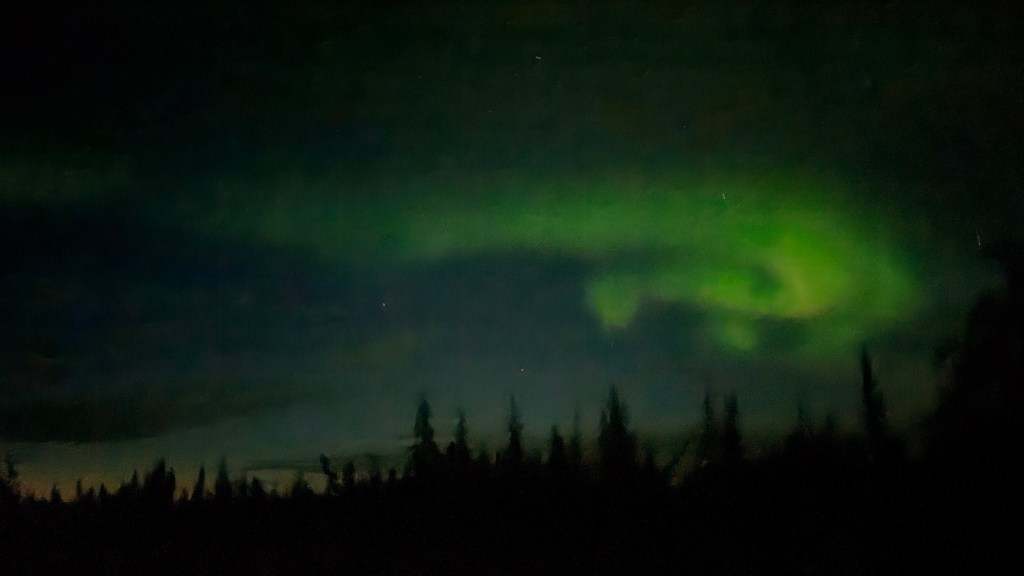
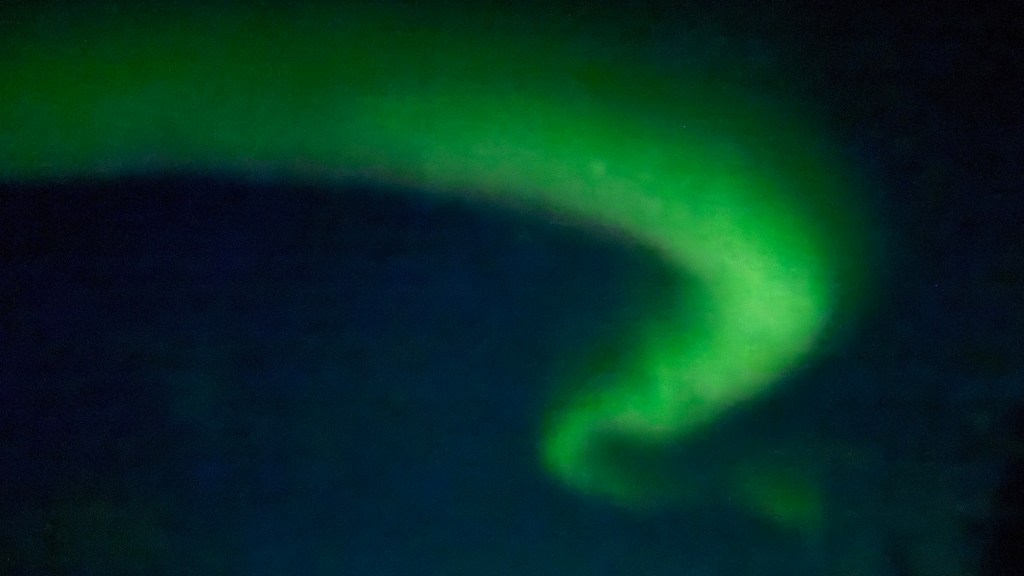
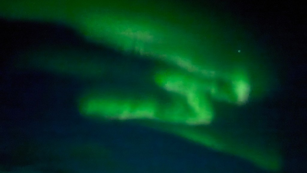
They were a bit difficult to see – I also took these photos from inside the cabin. I could see what seemed like clouds dancing around, with a green hue. So long exposure helps to capture the colours that the eyes can’t fully experience. Very cool, and I hope for clearer nights in the next week or two being up this far north.
We didn’t go far today. That doesn’t seem to matter at the end of the day – it still takes us a bit longer as we linger and enjoy the views. We’re so pleased we are taking the time we are. It has made for a very enjoyable trip so far. We have had no ‘rest days’ because we haven’t needed or really wanted one yet. With driving only 3-4 hours a day, it seems to have worked out well. What that has also afforded us is the opportunity to see things we might have missed on our way north, or revisit some of our favourite camping sites on the way back south.
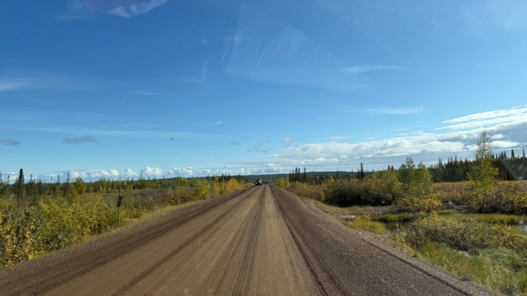
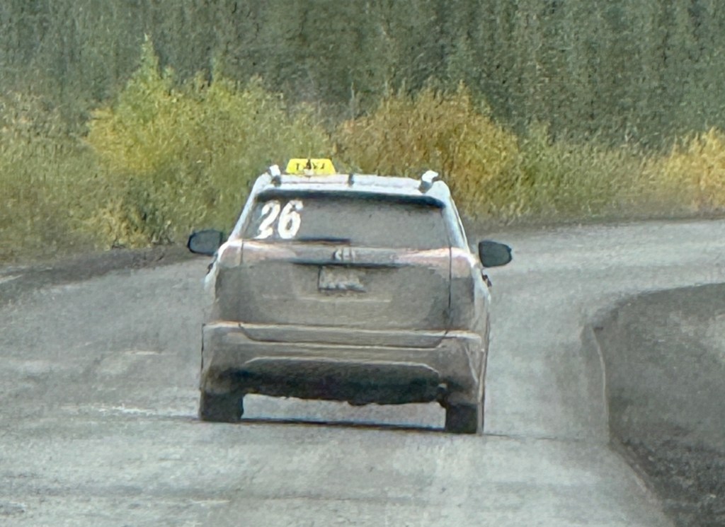
The day started out clear and sunny. It was cool – maybe 9° or so with a slight breeze. When you’re in the sun, it’s incredible. The Dempster was still super muddy. Thicker now, though, so you can feel it hit the underside of your vehicle with a significant punch – kind of like driving through wet snow. It’s dreadful stuff, and I don’t envy Eric’s task of cleaning it all off when we get back to Dawson City in a week or so. I have my own chores in Dawson City – like all our laundry!
We’ve accepted the fact that we’ll be finding mud for years to come.
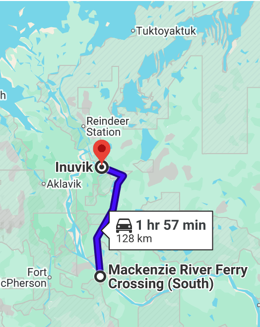
The plan is to spend the evening in Inuvik. It’s only about 150km, and it also means another ferry crossing.
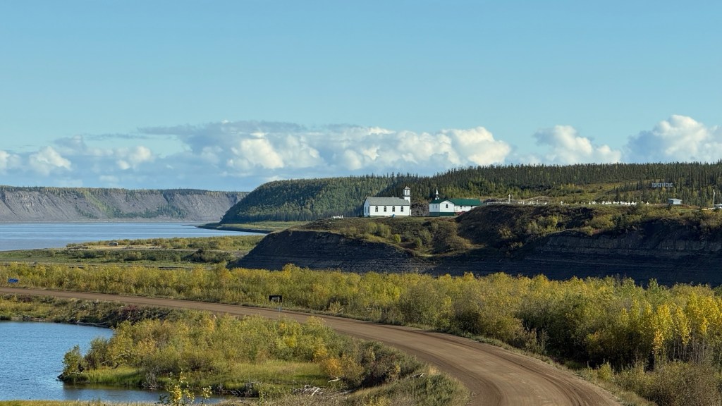
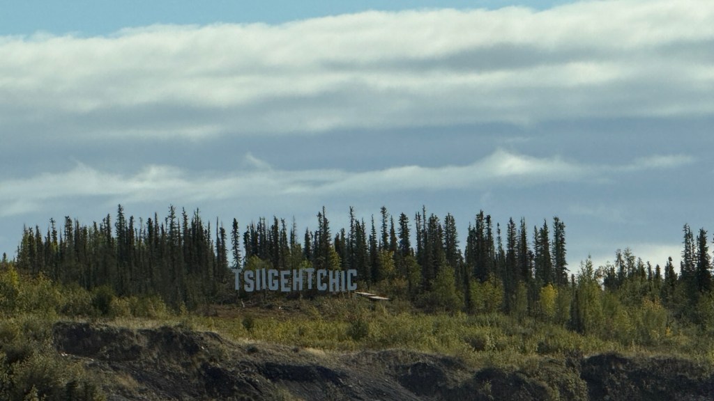
We rolled into the Hamlet of Tsiigehtchic early afternoon. It’s a pretty place with about 200 residents. Tsiigehtich is a Gwichʼin community located at the confluence of the Mackenzie and the Arctic Red Rivers. As you arrive, you can see the Holy Name of Mary Church perched high upon the hill. The first church in the community was built in 1896. The location provides a high vantage point above the river confluence. The site features an older, larger church built in the early 1920s – alongside a newer, smaller chapel attached to the local rectory. If you zoom in on the photo, you’ll see both the original church and the newer one in front. Behind the original chapel, you can see a sizeable graveyard. There are sandstone cliffs and rock formations along the riverbanks at Tsiightchic. Stunning.
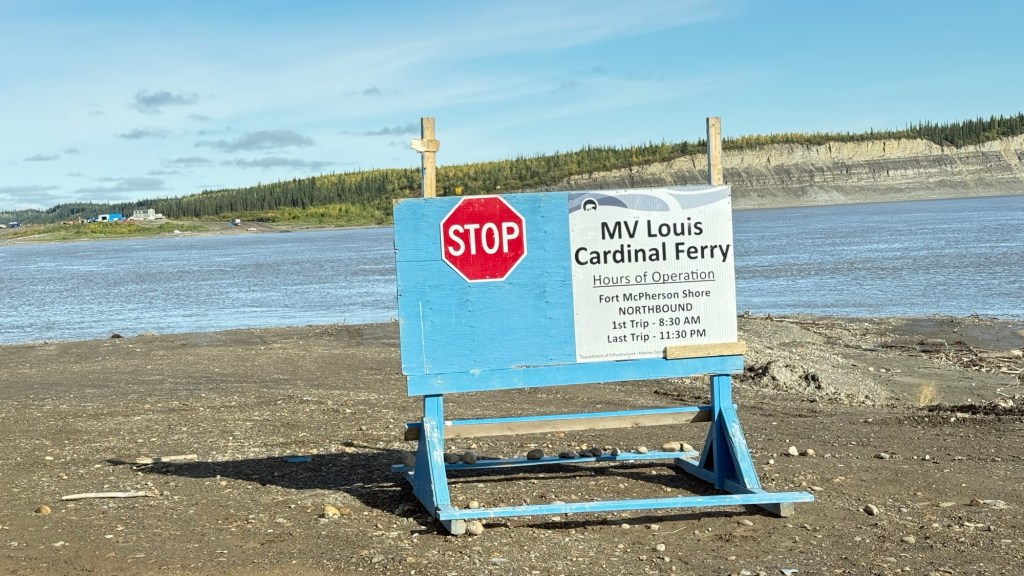
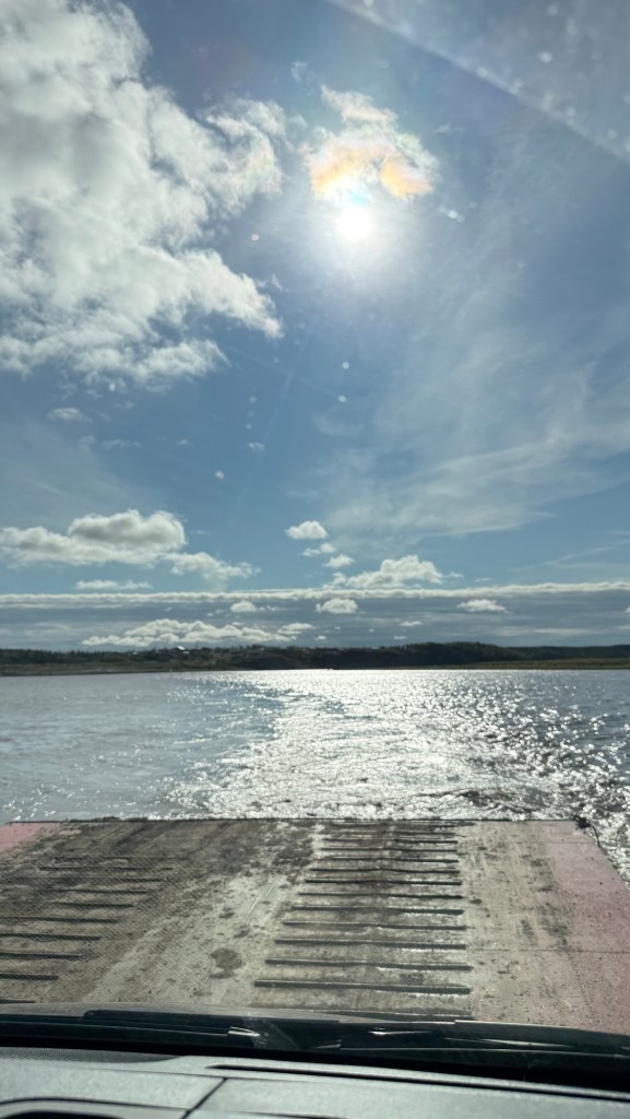
It was time to board the MV Louis Cardinal Ferry. This ferry isn’t a cable ferry, as it has two stops, turns around, and backs into the first landing, letting folks off. Then over to the other side to let the rest of us off.
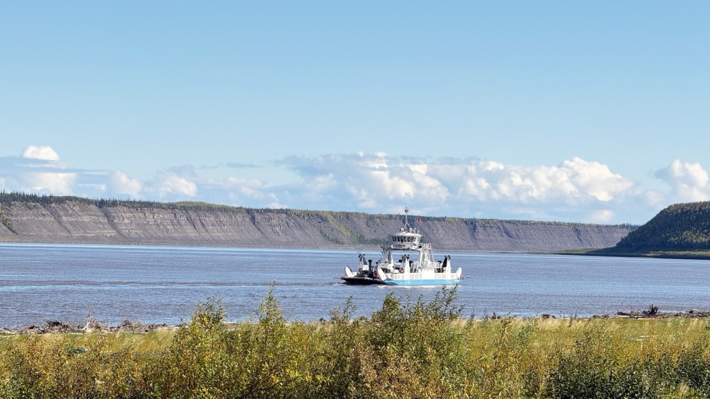
This ferry crosses the Mackenzie River – the longest river system in Canada, flowing 1,738 kilometers from Great Slave Lake to the Arctic Ocean.
We’d just missed the ferry, so we waited about 20 minutes until it completed its run. We watched this front-end loader performing mud Olympics, moving the clay mud around from the river’s edge to tidy up the landing point for the ferry. You can appreciate the skill it takes to get these beasts to do what you want. They make it look easy.
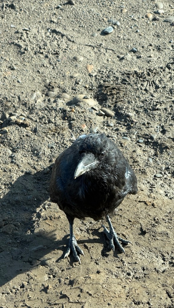
Of course, we had our token Raven visit. In the Northwest Territories, ravens are famous for being highly persistent, year-round residents. Rather than migrating south for the winter like most Arctic birds, they actively thrive in the brutal sub-zero climate. I find them beautiful, albeit a little intimidating.
OK! Time to load onto the ferry. It’s a weird feeling driving over the mud onto the ferry. It was a little squishy.
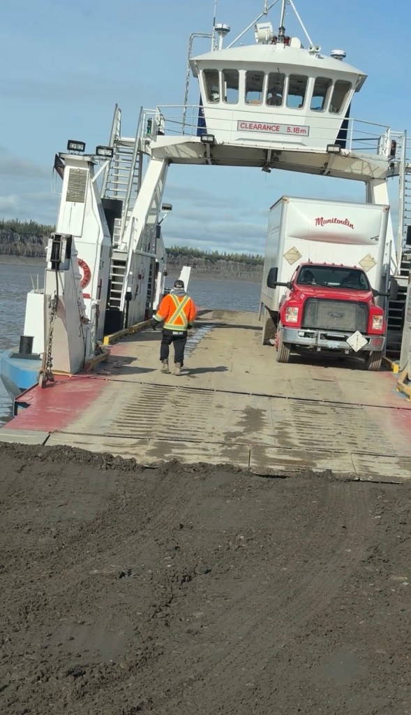
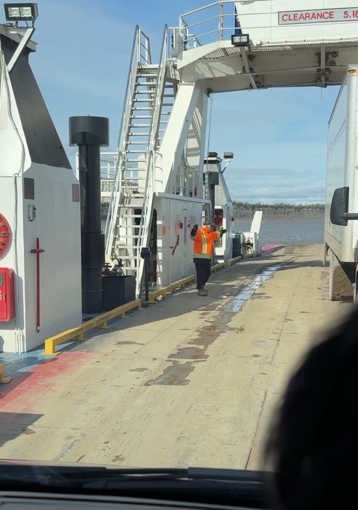
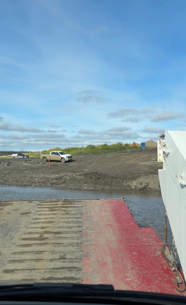
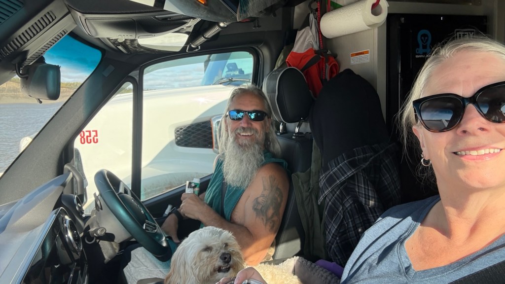
The sun was shining, and Eric and I had the biggest smiles on our faces. Crossing the Mackenzie! Who’da thunk? We’ve felt like a couple of kids this whole trip.
Once off the ferry, on we continued to our next destination – Inuvik. We’re not far from our final point north on the map. We’ll be in Tuk by tomorrow late afternoon. We’re giddy!
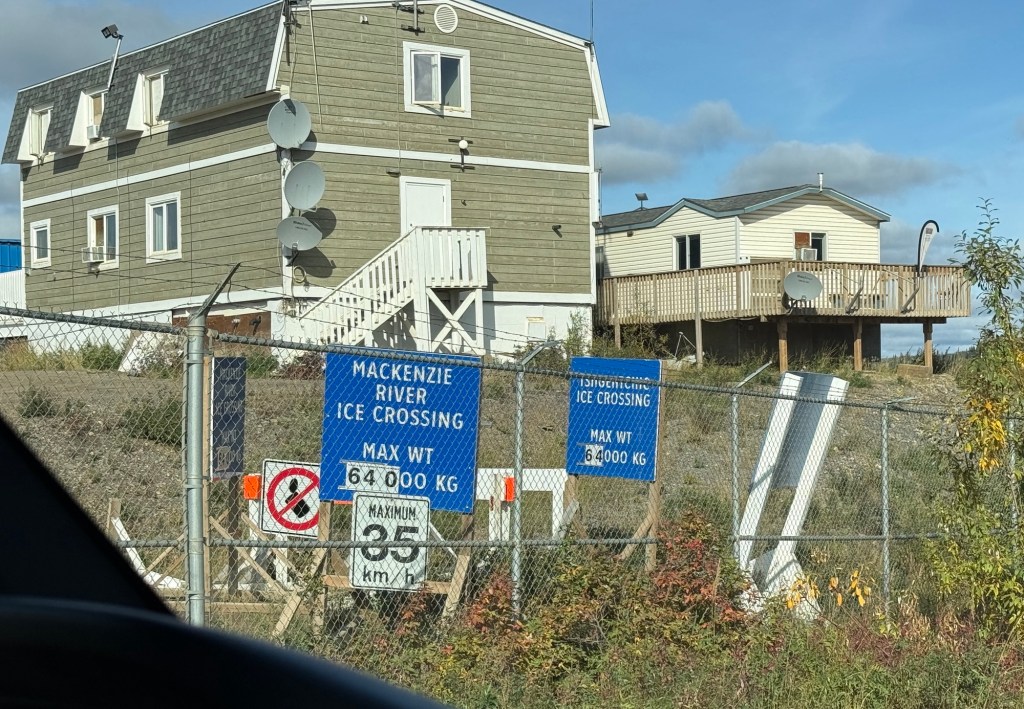
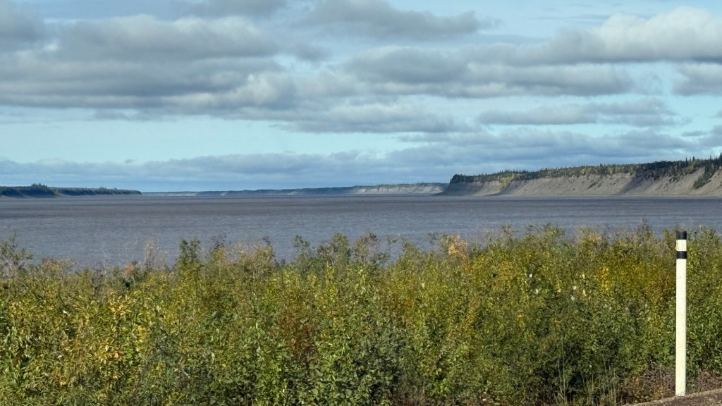
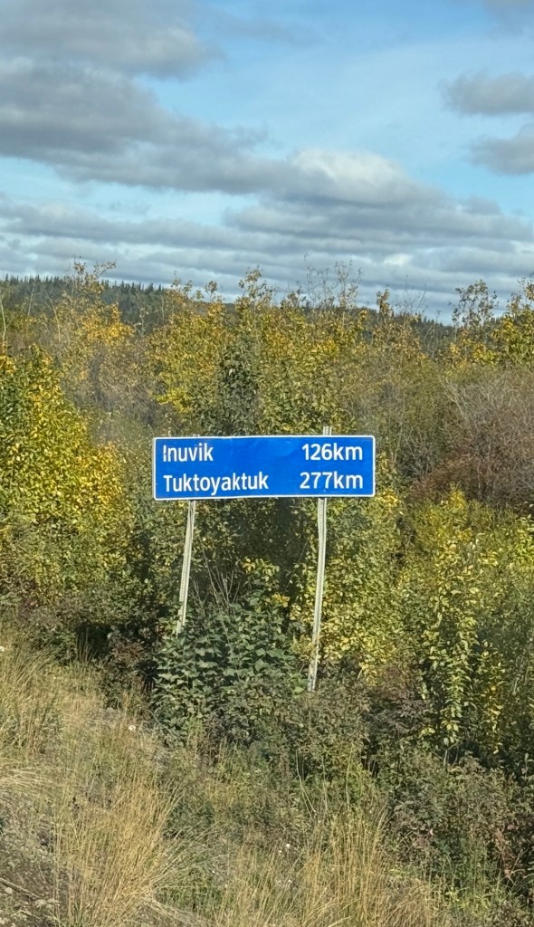
Now we’re in the Mackenzie Delta.
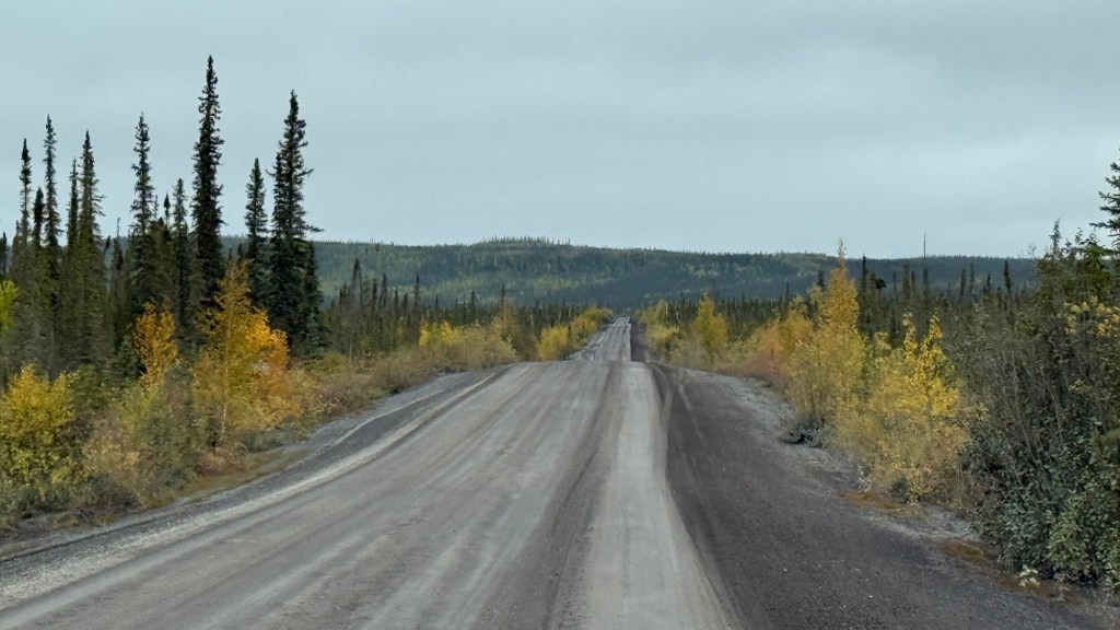
Observation about the Dempster on this side of the river? Straight.
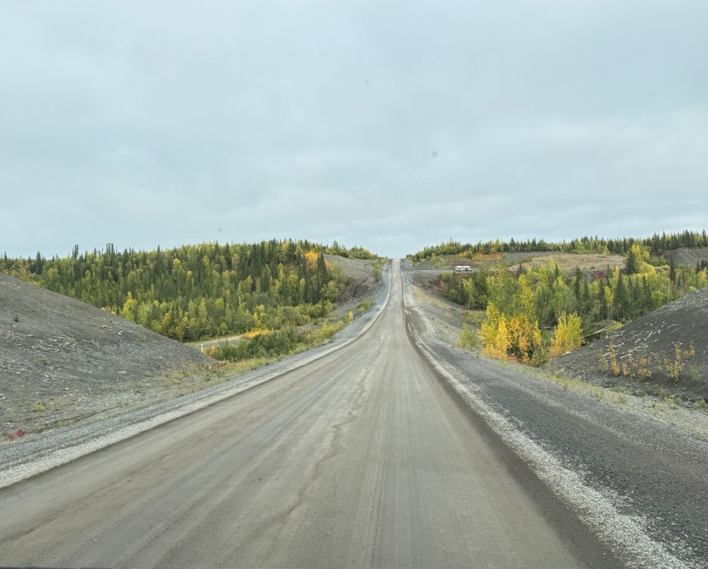
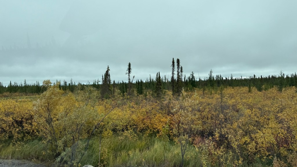
We’ve spent the last few days winding through mountain ranges and wide open spaces. This part of the highway runs through the McKenzie Delta, which provides lots of dense foliage along the road. Everything is a little different in the delta compared to what we’ve travelled through so far. The cloud ceiling was low today, so we didn’t have as great visibility during our drive as we have been. I’m sure it will be clearer when we head back this way.
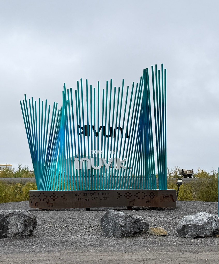
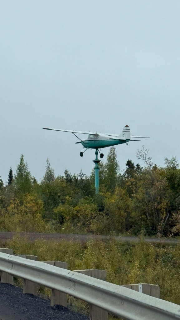
We rolled into Inuvik around 4:30pm. Inuvik is situated on the East Channel of the Mackenzie River Delta. The population here is about 3400 residents. Inuvik marks the end of the Dempster Highway. Fun fact: The namesake of the Dempster Highway is William Dempster. He was a long-serving mounted police officer in the Yukon, serving from 1897 to 1934.
Inuvik is considered to be the gateway to the Arctic. Connected to southern Canada by the Dempster Highway and linked to the Arctic Ocean by the Inuvik-Tuktoyaktuk Highway. That’s the last stretch that will take us to the Arctic Ocean and Tuktoyaktuk.
We got ourselves settled into a Territorial Park Campsite for the night, where we can have a hot shower and replenish our water supply. It’s located within the town of Inuvik and is nestled on a bluff overlooking the Mackenzie River.
I was checking out the surroundings, and on my way back to the cabin, Eric asked if I saw ‘the fox’. He thought we would have crossed paths. I quickly went back to check and caught a brief glimpse of him.
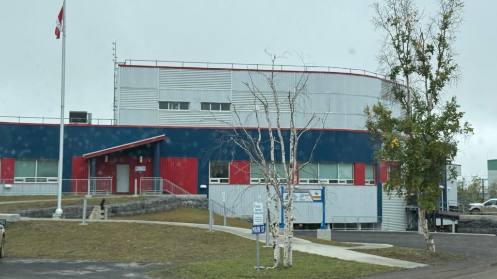
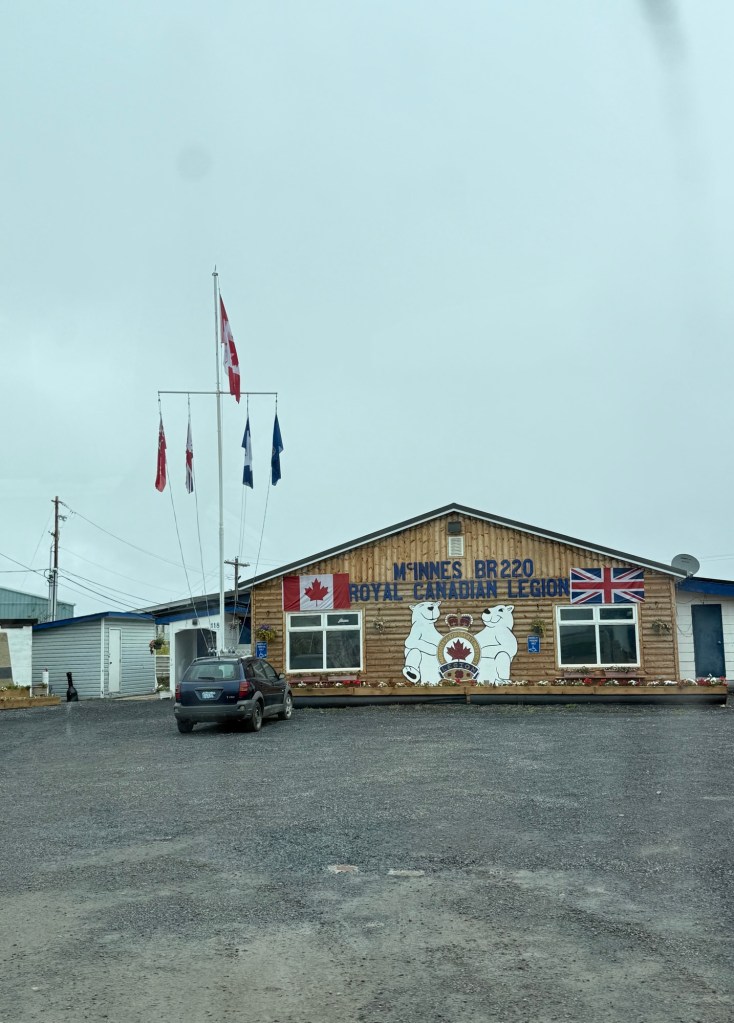
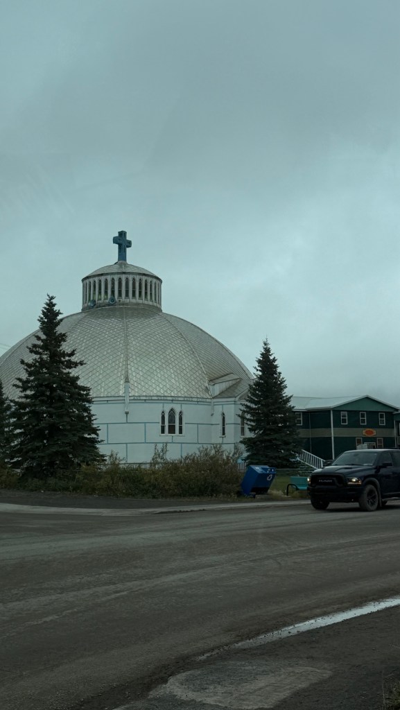
We took a drive around town to check things out. We grabbed some dinner and came back to camp for the night.
It’s going to get chilly tonight, with a low of 3°.
Although the sun set at 10:36 pm, it was still light out after 11:00 pm. Time to snuggle in!


Leave a Reply