
Buckle up – this is a long one.
September 1st, 2026
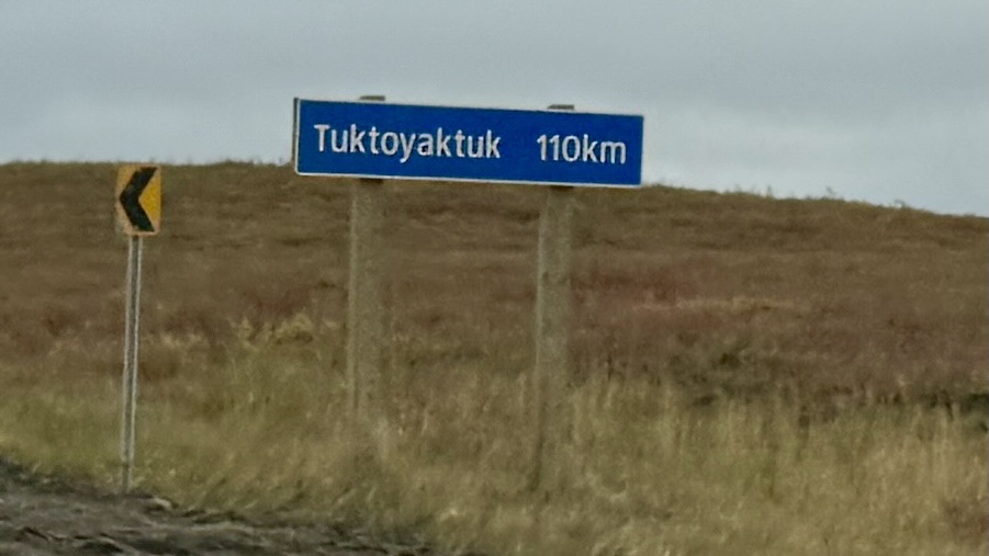
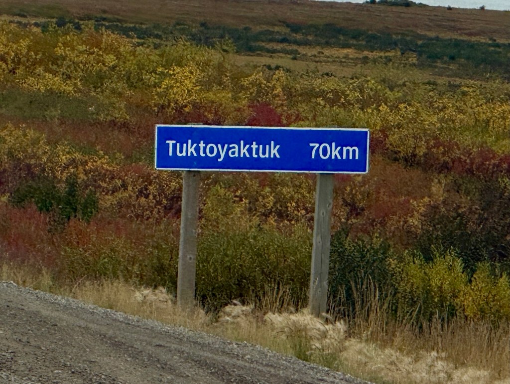
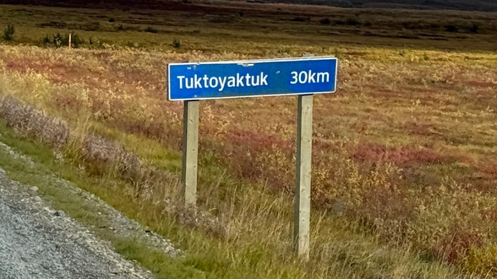
This morning we embarked on the last leg to reach Tuktoyaktuk. We left Inuvik at around 11:00am to head straight north… in a roundabout way.
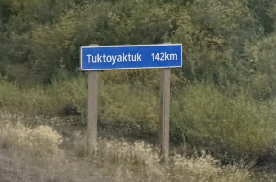
The Inuvik-Tuktoyaktuk Highway opened November 15, 2017. It is the first and only public all-weather highway in Canada that reaches the Arctic Ocean. It is built directly on top of the permafrost using a thick gravel embankment and geotextile fabric to protect the fragile ground from thawing. It serves as the final northern extension of the legendary Dempster Highway we’ve enjoyed so much.
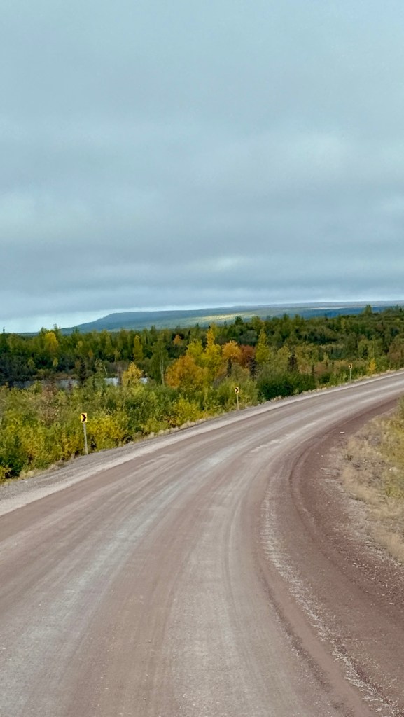
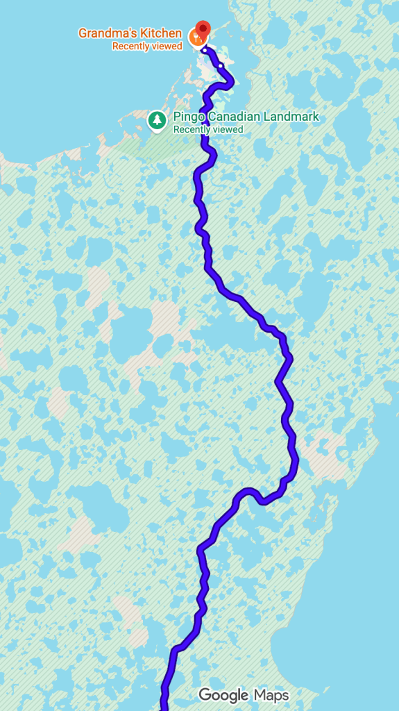
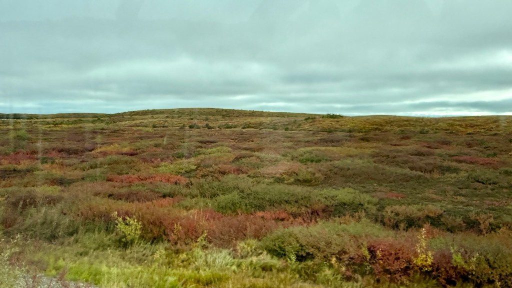
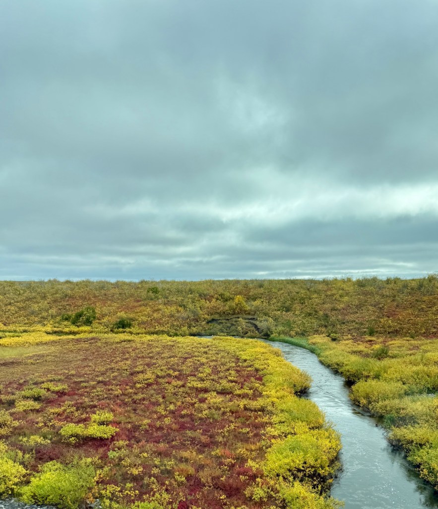
When I say we headed straight north in a roundabout way, it’s because on the Mackenzie Delta, there is more water than land in some areas. The Mackenzie Delta is Canada’s largest river delta and the second‑largest Arctic delta in the world. The Mackenzie River splits into hundreds of channels across the vast, permafrost‑rich coastal plain before reaching the Beaufort Sea. So the highway weaves through these bodies of water. The water of the delta giving richness to the vegetation, which appears more robust here than on much of the previously driven Dempster.
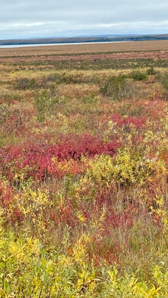
The vegetation transitions from stunted black spruce and tamarack in the south to open tundra in the north, with ground cover of dwarf birch, willow, shrubs, cottongrass, lichen, and moss. It feels ‘richer’ than some of the foliage we saw further south.
Three distinct herds of Cariboo roam the mainland of the tundra in the Mackenzie Delta, feeding on the richness in the delta, so we’re keeping our eyes focused!
This stretch of road is a little busier given people from Tuk will go to Inuvik for bigger household items and other necessities such as ATVs and Snowmobiles (locally referred to as snow machines). For us, snowmobiles and ATVs are recreational and used largely just for fun. Up here, they are a necessity, and everyone has them.
As we drove along the highway, we would see groups of snow machines, ATVs, sleds (for hauling big game), and sometimes flat utility trailers that seemed abandoned, but really they are strategically placed.
Hunting season started August 1st, and locals are ready. Some things look like they’ve been out there since last season, when you see the threadbare tarps on them. The wind seems a bit more constant here, and I suspect those tarps take a beating. I guess it’s just the way of life – to set up your spot and stash your belongings along the side of the highway. Can’t imagine doing that anywhere else and expecting your goods to still be there later.
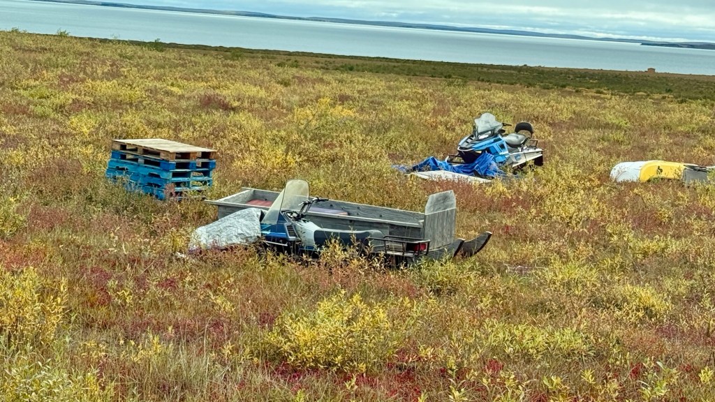
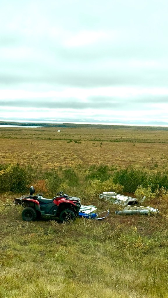
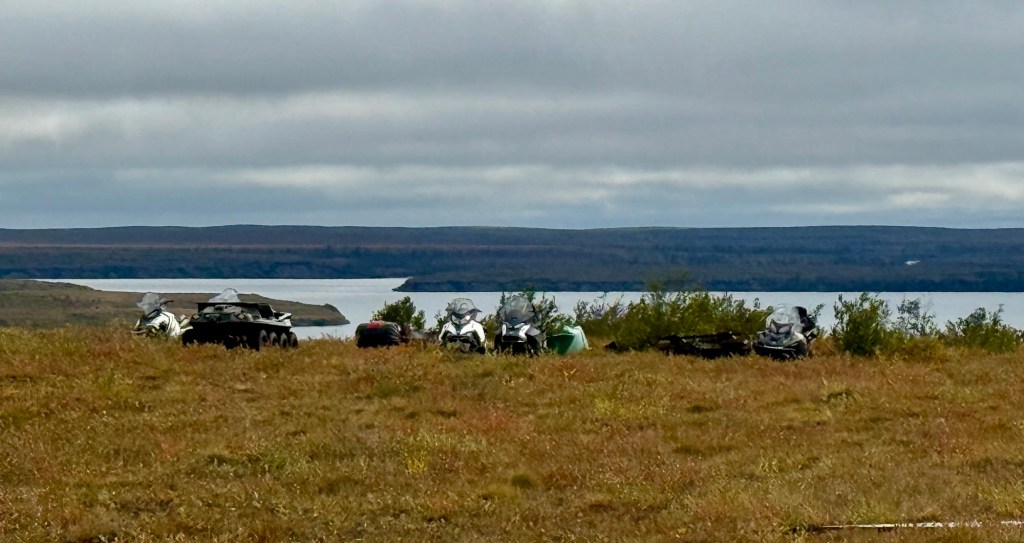
Typically, you can see a very faint trail from the machines out into the Tundra. There you’ll see hunting shacks. They are ready!
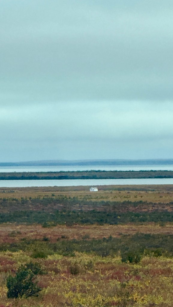
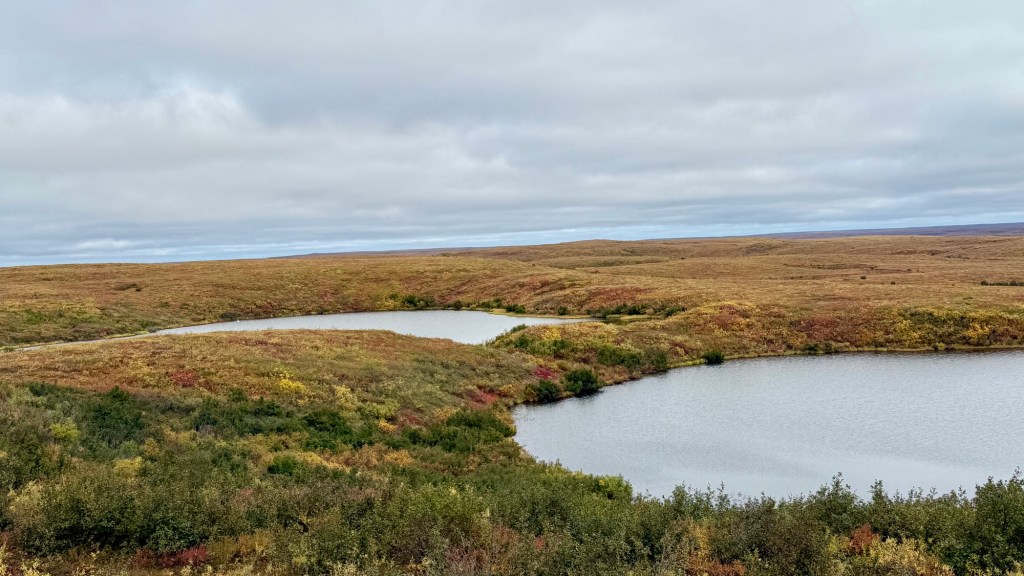
The channels and lakes that speckle the delta often seem to have swans. We’ve seen so many. Typically, only 2 swans are in each lake except for this one lake, where there were 3, and just after I put my camera away, two of the swans got into a bit of an altercation of sorts. So I suppose three’s a crowd. Tundra swans use the Mackenzie River Delta as a vital nesting, molting, and staging habitat during the spring and summer migration. Surveys show roughly 2,500 to 3,400 tundra swans use the outer delta and sanctuary areas during peak seasonal counts. I suppose it’s still warm enough for them, as they haven’t all started flying south yet.
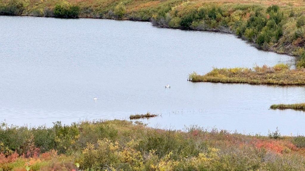
There was so much to see through these areas, and we were constantly scanning for wildlife. We didn’t see any today, but I know they’re out there!
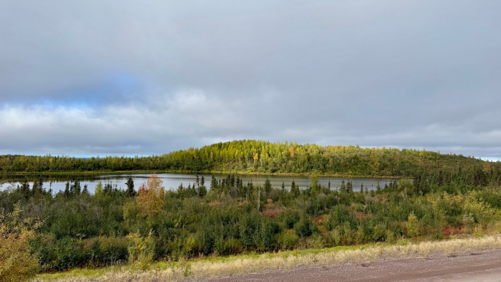
On the delta, the land is flat. I mean prairie flat. The vegetation is rich, and you can see green, gold, and shades of yellow, coral, and red. So many rich colours!
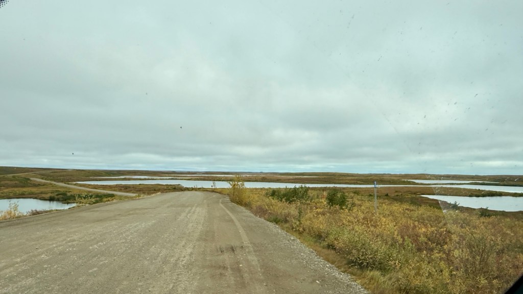
As we drove through this amazing landmass, I felt quite emotional. The distance, the beauty of the land neither of us has ever seen before. The views overwhelming at times. We’re so far away from anything familiar… and from anything at all. A year and a half ago, I was lying in a hospital bed at Vancouver General Hospital, newly diagnosed with an ultra-rare disease that almost took me out. Had you said then I’d be here today… Let’s just say I didn’t think anything like this was in my future. Yet here we are.
I’m beyond grateful.
Eventually, we began to see the Pingos. The word comes from an Inuit word that means a small hill.
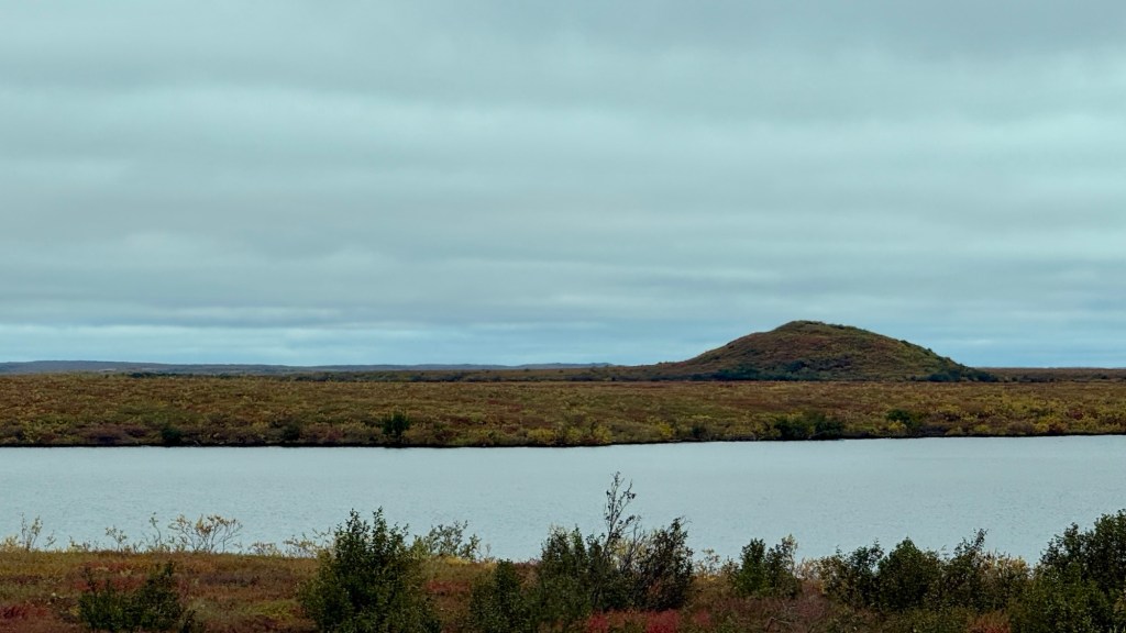
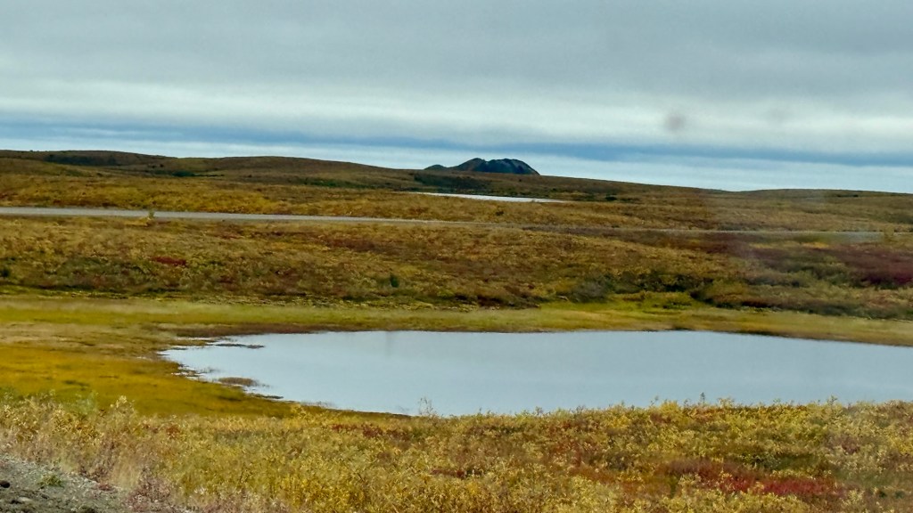
Pingos are mounds of frozen ground with a large core of nearly pure ice. They rise dramatically from the otherwise flat, lake-dotted tundra, varying in size. The closer we got to Tuk, the more prominent they became. There are approximately 1,350 pingos on the Tuktoyaktuk Peninsula – one of the world’s largest concentrations. A pingo grows while water continues to freeze inside its core. Eventually, however, the ice core may crack, melt, or become exposed to warmer conditions. Water can escape through fractures, and the supporting pressure is lost. The summit then sinks or collapses, sometimes leaving a crater-like depression and a pond.
Over time, the collapsed mound can become patterned tundra or a wet depression – effectively returning toward the lake landscape from which it began.
Just as you reach Tuk, you’ll come across the Pingo Canadian Landmark Viewpoint. That’s where you can see the big Pingos.
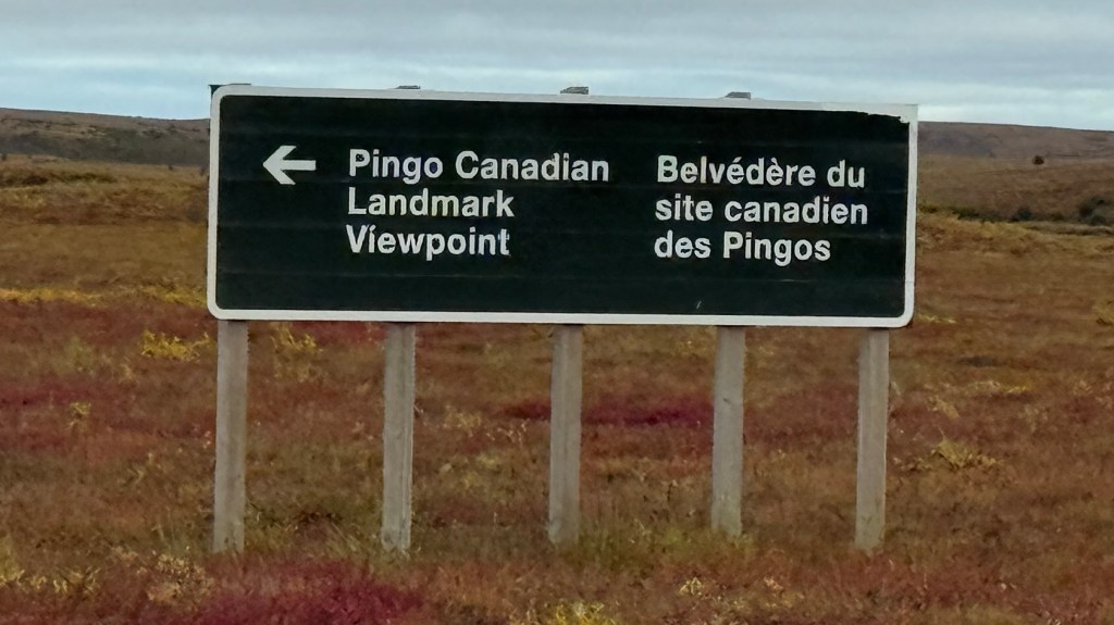
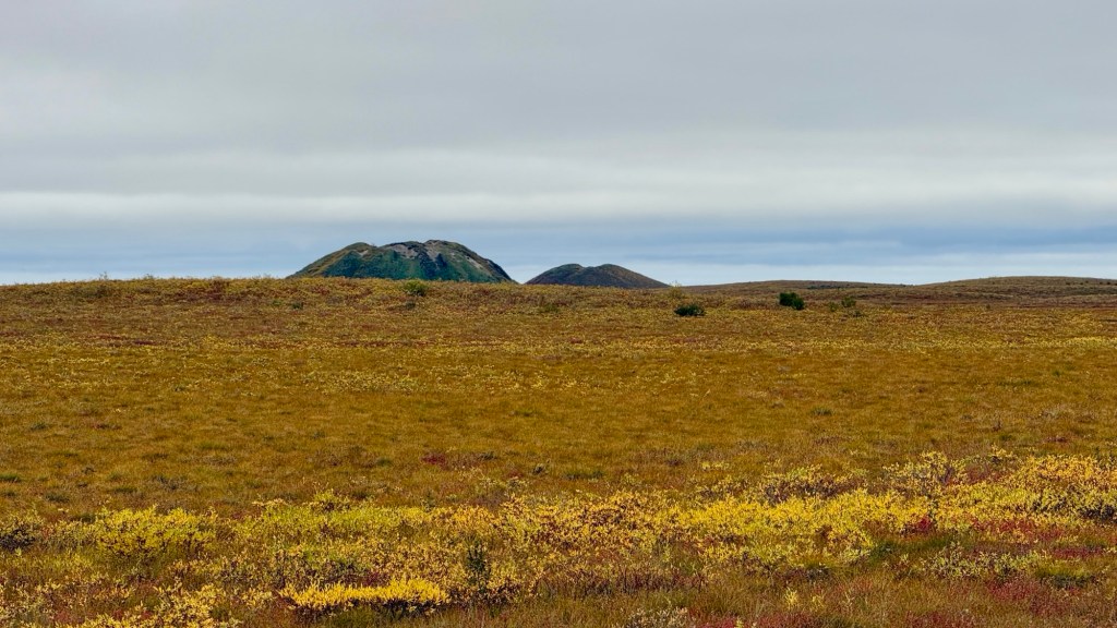
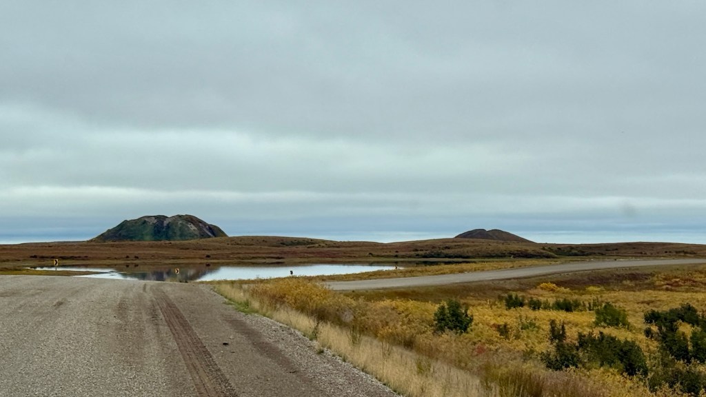
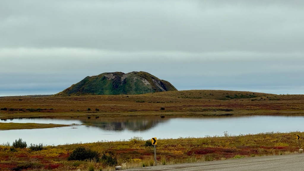
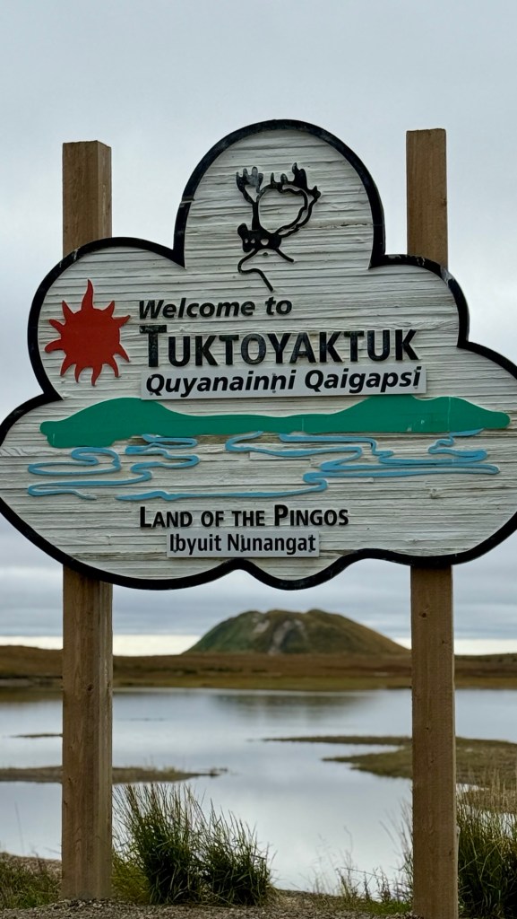
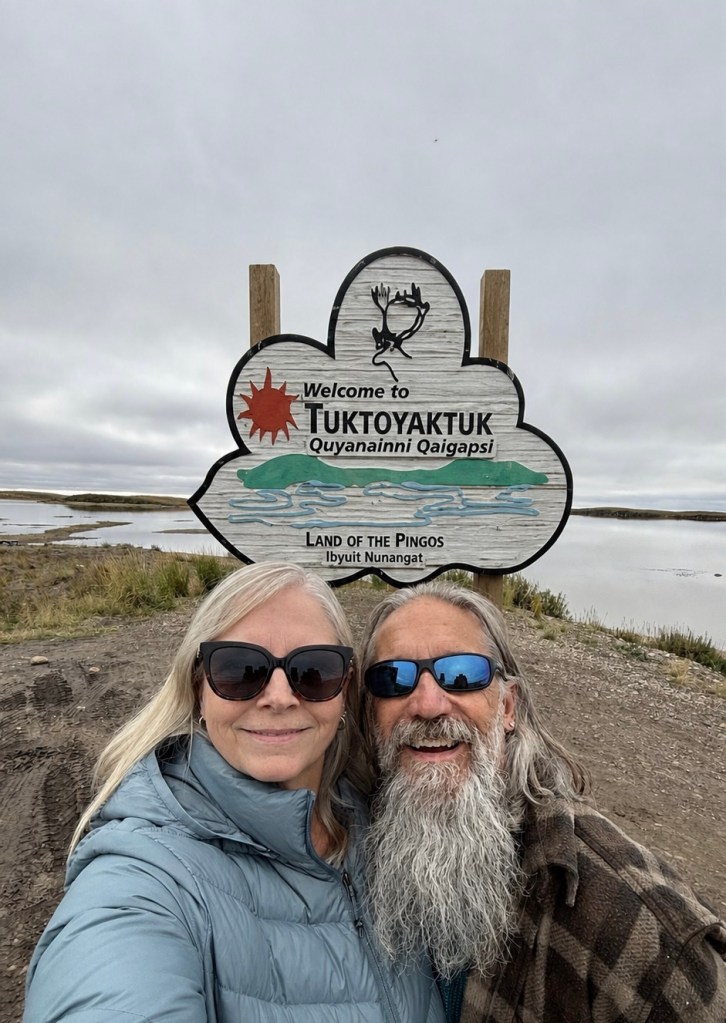
That’s also where the Welcome to Tuktoyaktuk sign is.
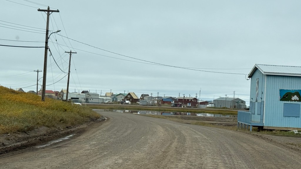
We could see homes directly on the coast as we entered into town.
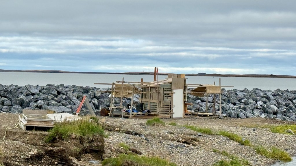
We also saw some unusual structures that seemed to be abandoned.
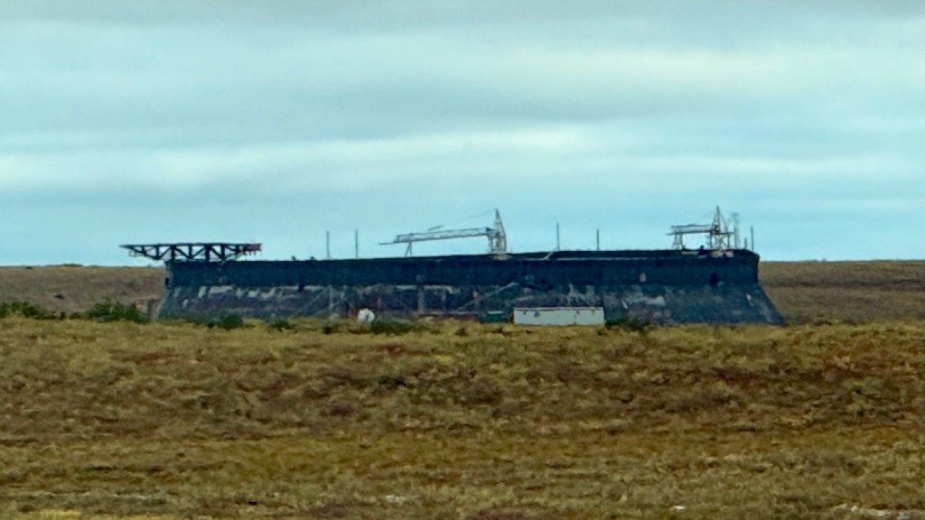
In the 1970s and 1980s, Tuktoyaktuk was a busy staging hub for extensive offshore oil and gas drilling in the Beaufort Sea. Huge multinational companies like Imperial Oil operated major bases here. That exploration completely stopped decades ago due to high operating costs and environmental complexities. Tuktoyaktuk retained several large industrial structures from the oil-and-gas activity of the 1970s and 1980s, including warehouses, storage tanks, and former employee facilities. Tuktoyaktuk still uses some industrial infrastructure for community resupply, marine transportation, construction, fuel handling, and occasional northern exploration support
Tuktoyaktuk homes are weathered. It was interesting to us that homes in Inuvik and here in Tuk lack garages. The houses have a small footprint but sometimes have several floors. Many homes in the Arctic do not have garages primarily due to the challenges of building on permafrost, historical design focused on compact public housing, and the logistics of above-ground municipal infrastructure. Homes are designed compactly around core utility access points.
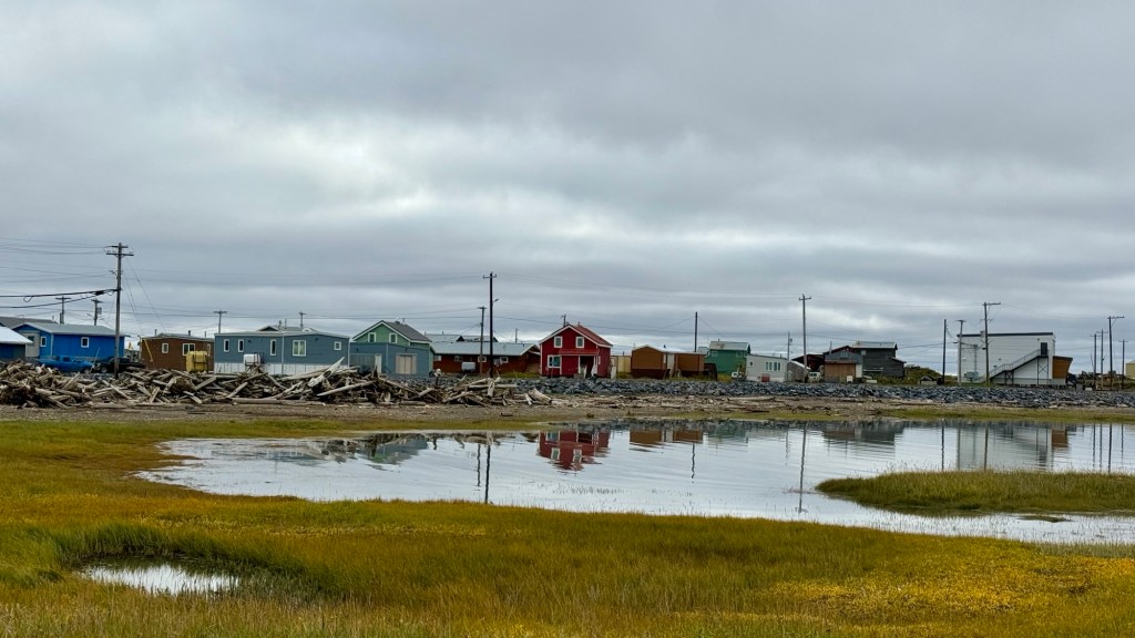
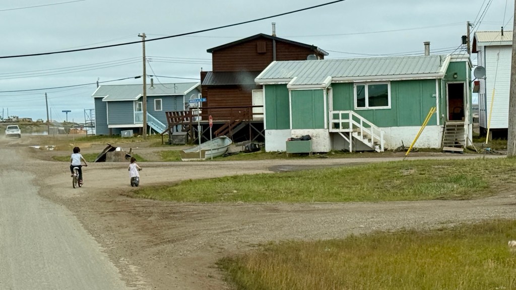
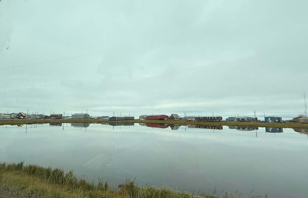
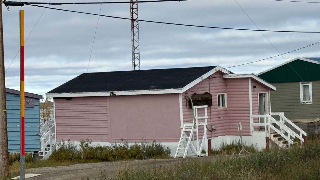
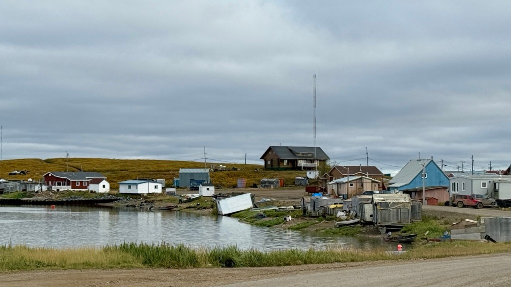
It’s hard for us to believe we are in Tuktoyaktuk! We have travelled to the furthest point North in Canada that is accessible by road. It’s mind-boggling.
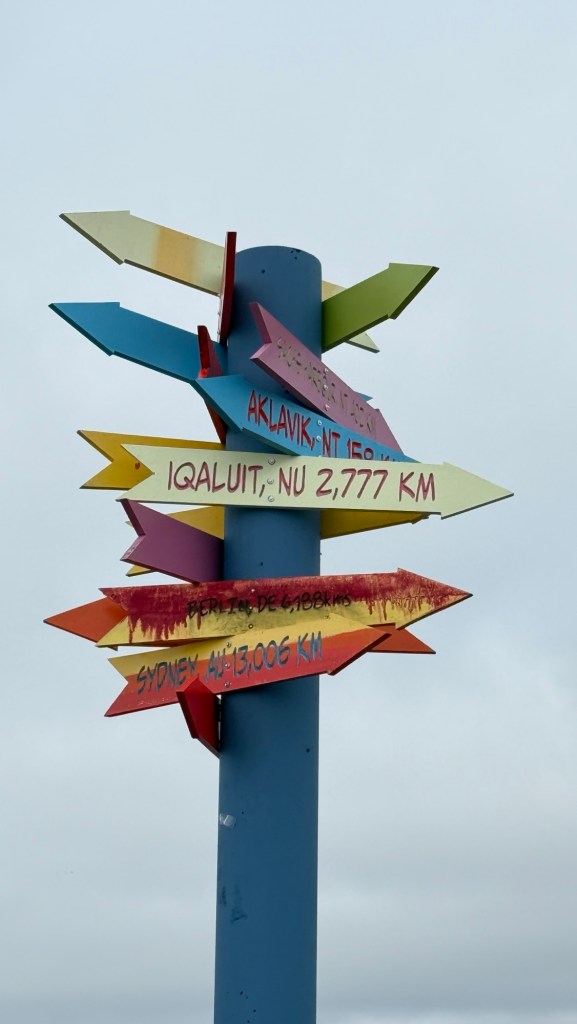
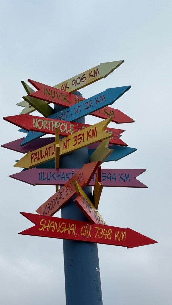
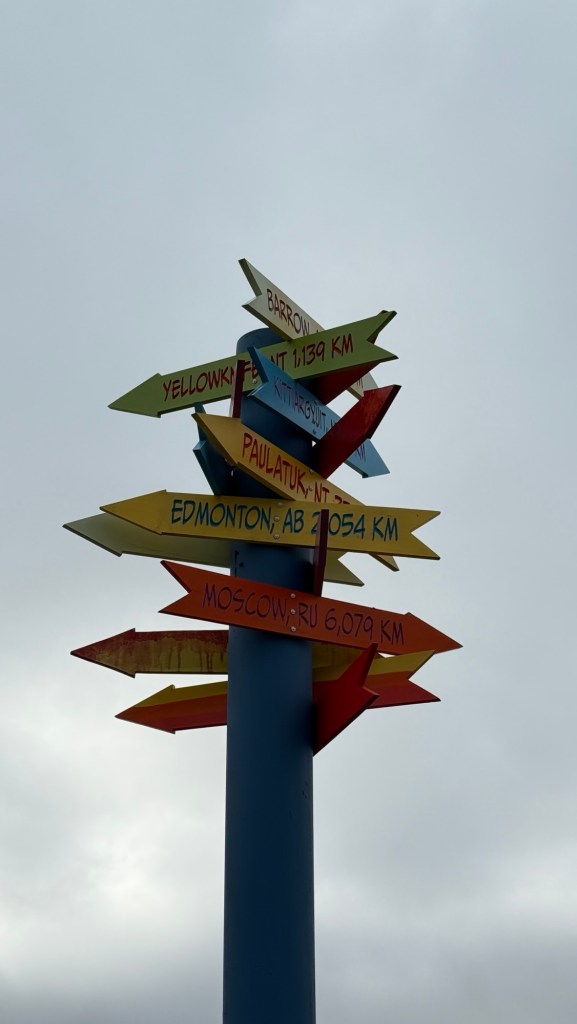
We stopped into the Tourist Info building to get a camping pass for the night. $30 and you camp right on the ocean’s edge. Just find a place in the area and park.
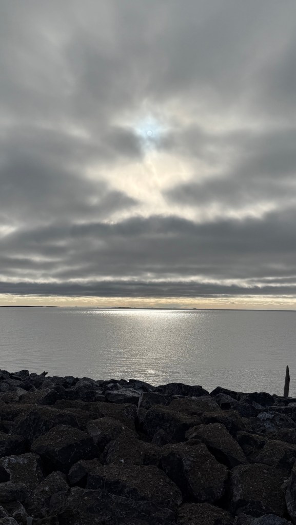
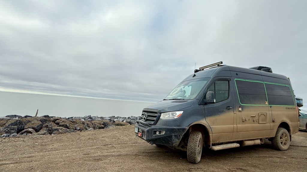
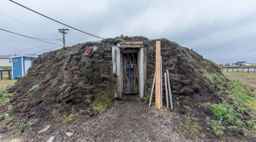
We drove through town to get a feel for where things are. Such interesting sights! Small rustic homes with LOTS of vehicles around them – not necessarily serviceable. Incredible historical sites such as the traditional sod houses.
We checked out a couple of places, but wanted to stake our claim at the campsite. There are no bad views here, and this beautiful little peninsula has everything they need.
We finally saw the Arctic Ocean sign.
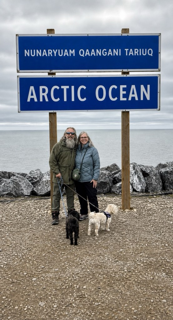
We decided to take the dogs for a walk, since much of our time is either driving or sitting by a river somewhere. So we leashed up the dogs, and off we went.
Now I’m not sure why it didn’t occur to us that taking our little urban dogs through Tuk might be a bit intimidating. We were all good until we turned off Beaufort Drive to walk through the neighbourhood.
Folks up north have BIG dogs, and typically intact, with lots to say. Thank goodness they have bylaws that prohibit dogs from being at large. I tell you what, they were loudly inquisitive about our little floofs. Even after we walked past everyone, the protest was real.
There aren’t many places to eat in Tuk, but we wanted to venture out for dinner.
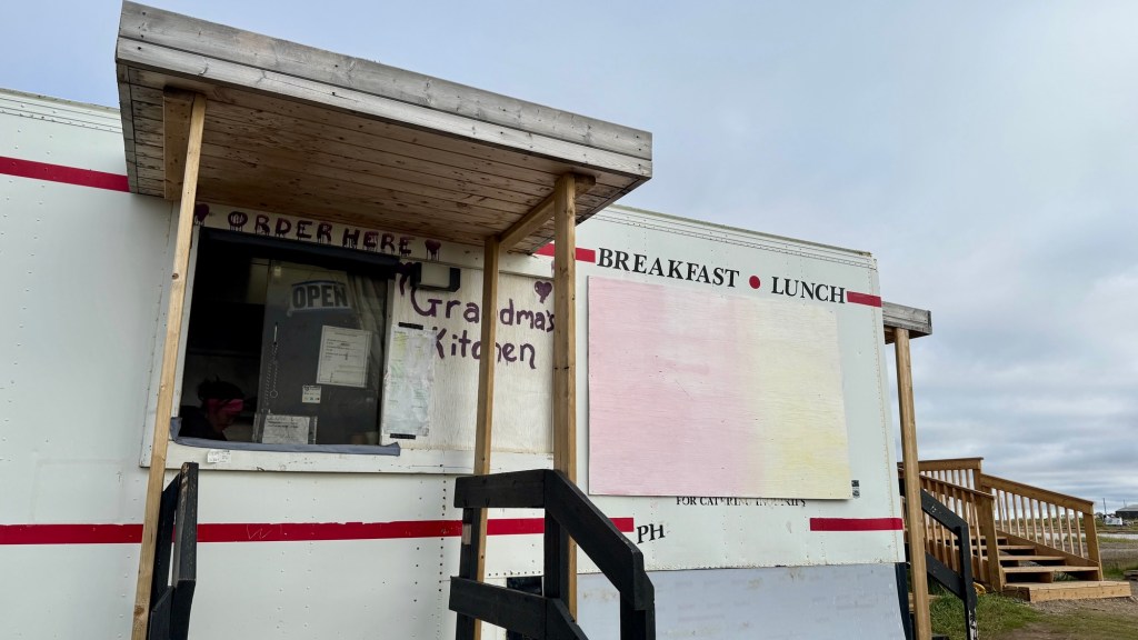
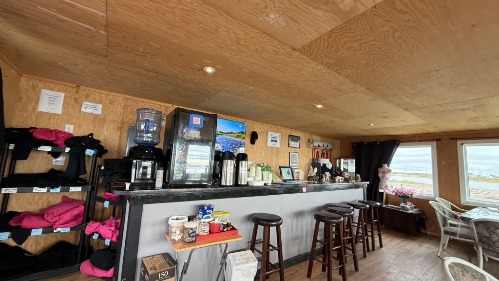
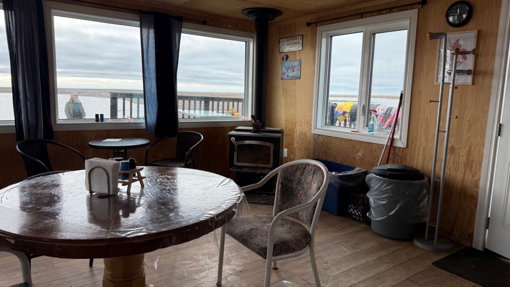
We made our way to Grandma’s Kitchen. Unsure of what to expect, we found a little cook shack and an adjacent ‘sun room’ where you can enjoy your food.
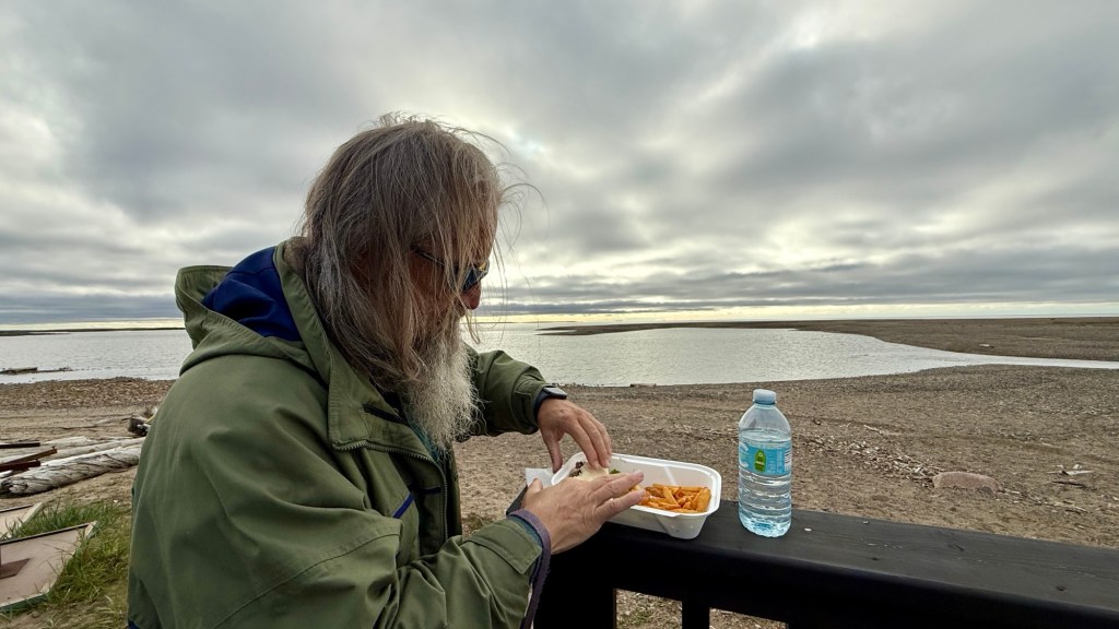
“Grandma” was a sweet lady who works alone in her establishment. We don’t eat big meals, so we decided to share a burger, fries, and a bottle of water $29.00.
It was delicious. She also offered samples of Muktuk, consisting of whale skin and blubber. I graciously accepted the samples. I had no intention of trying it, but Eric did – then he didn’t. I suppose it’s more about texture. I’m just simply not that adventurous. Harley liked it, though.
We made our way back to the campsite and decided to sit outside and enjoy the sunset.
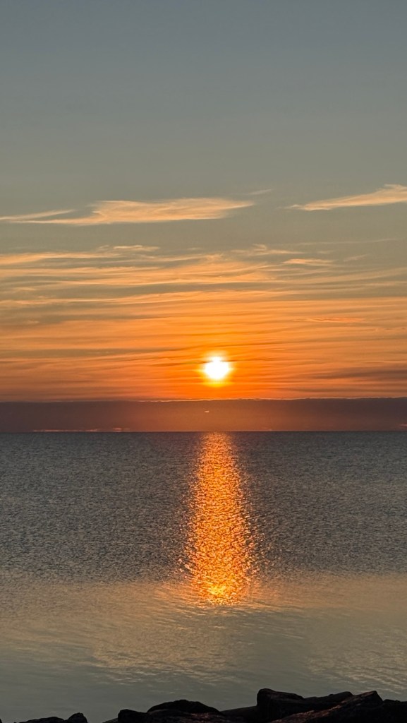
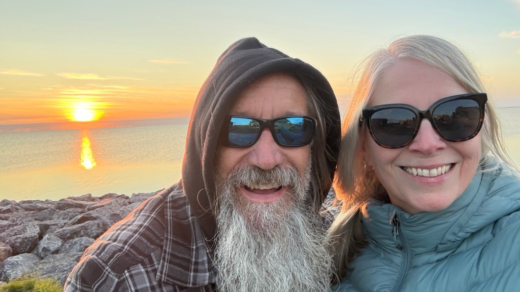
Except in Tuk, the sunset lasts for hours. There was a little bit of wind, but that wind was cold. So we huddled up outside until we wanted to warm up in the cabin, then we’d go back outside again. The weather for the day was perfect. You needed a jacket, but you were very comfortable. I can’t imagine what it’s like with full sun all day. Between that, the wind, and the winter, it’s no wonder things look a little worse for wear. Finally, the sun set at 10:45ish pm, but it was light out until after midnight.
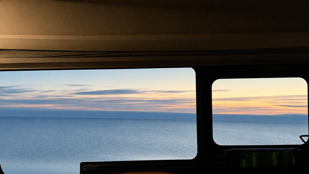
There we were, camping on the coast of the Arctic Ocean. Our hearts are overflowing with gratitude for the ability and means to do such a spectacular trip.
We took a leisurely 17 days. 4550 kilometres of the most spectacular scenery to reach this beautiful place. Through a magical land that most will never see.
We are indeed very blessed.
We still have 24ish days left in our trip.
So where to next? Well, back down the Dempster, and from there, we haven’t decided yet. So stay tuned.


Leave a Reply