
When we woke on day 26th, the mountain peaks told us we were starting to flirt with colder weather. Waking up to 3° will only work for me if it’s sunny. It wasn’t sunny. It was low cloud and rain.
So we decided to head south toward Whitehorse.
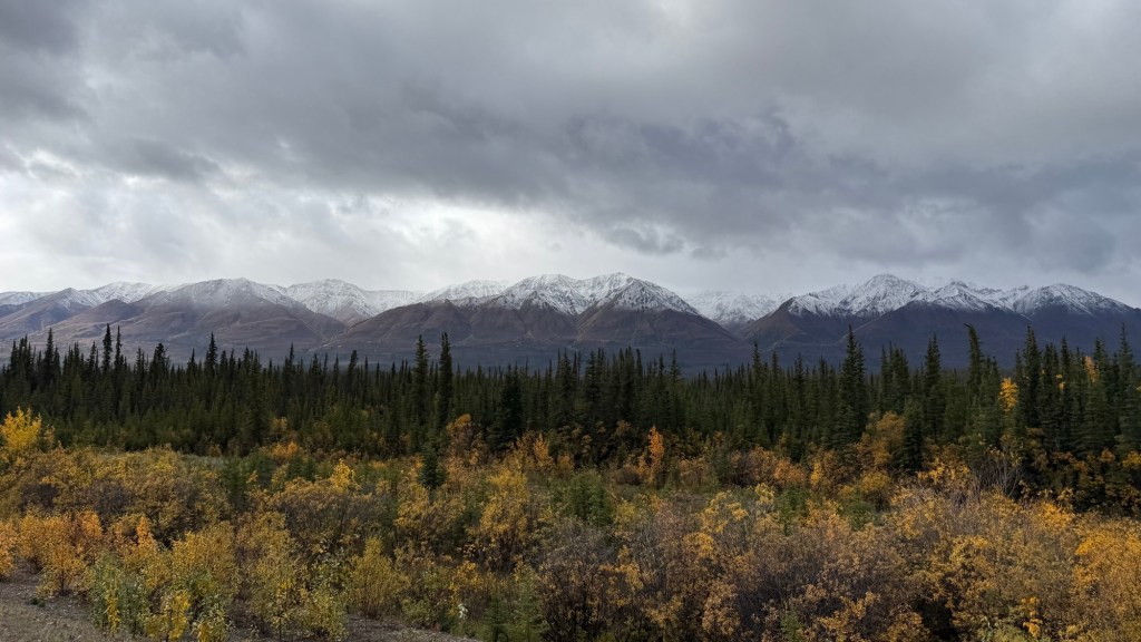
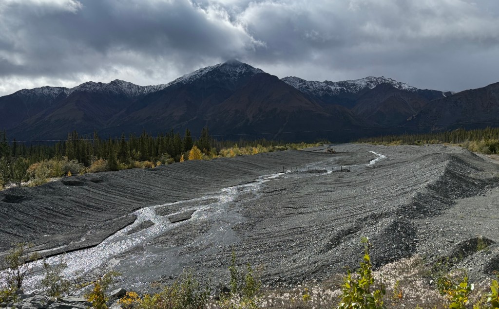
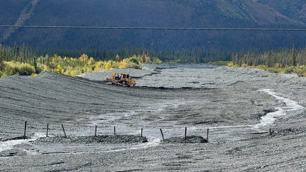
It’s certainly a different look to the landscape when the clouds are low. As we drive these highways, crews are getting ready for winter. We’ve seen many of these absolute mammoth runoffs for the winter melt. In this one, you can see way back in the photo a bulldozer moving earth to the far side to make way for snow and water runoff once the melt begins in the spring. It gives you a little perspective as to how big these runoffs are. There had to have been 4-6 of these that we passed by.
A short time/distance later, the sky opened up again, and we were back in the double digits for temperature.
Up ahead on the highway, we saw a converted schoolie and a truck stopped in our lane. The highway has very little traffic (at least at this time), and you know right away there is wildlife around. Looking up the side bank off the highway were these two beauties!
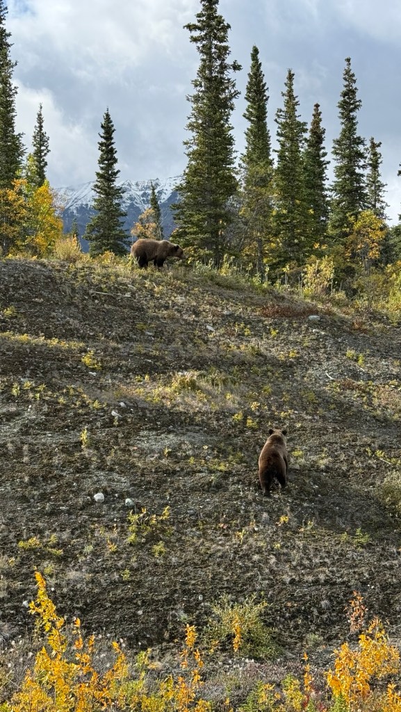
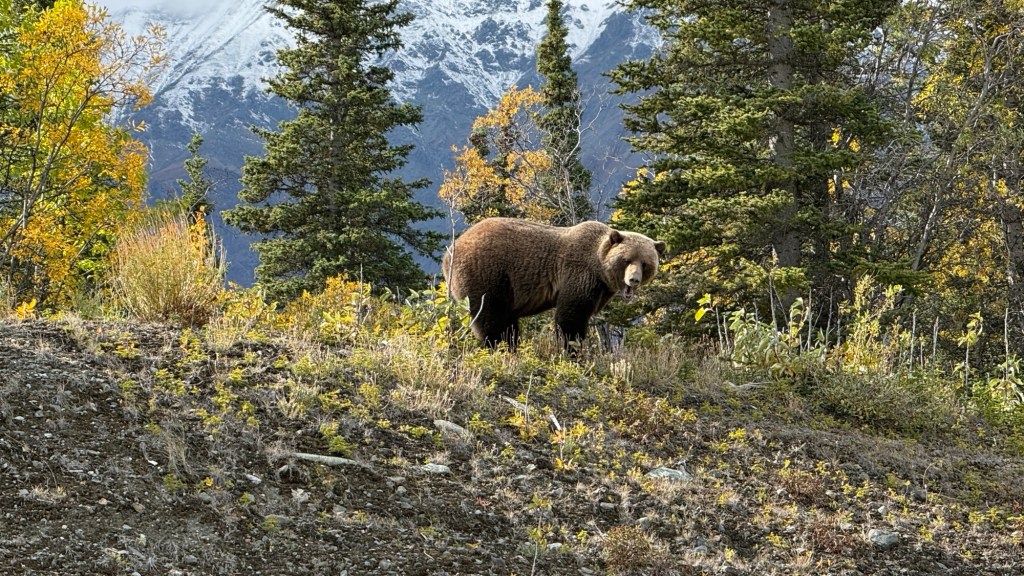
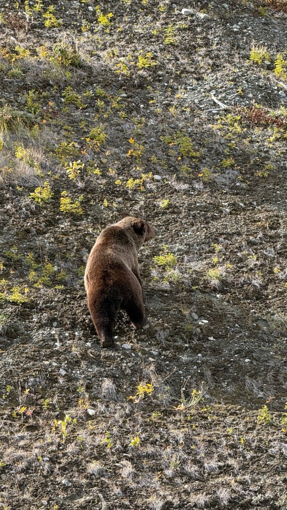
What a complete thrill and honour to witness these magnificent bears in their environment. I’m not sad we were in the van!
We carried on, our drive alongside Kluane Lake, through Destruction Bay, back to Haines Junction (for a sandwich and treats for later from the Village Bakery.
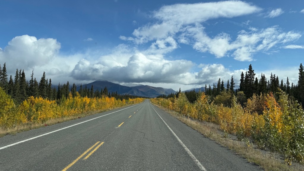
Eric then found our little dirt turnoff to a lovely little spot for the night.
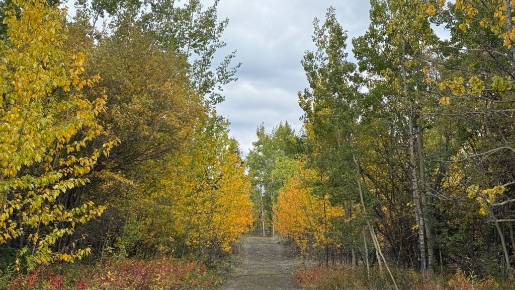
It’s interesting; we’re out in the middle of nowhere, and the turnoffs are unmarked, and quite difficult to see if you’re travelling at highway speed. With that, we had two other people come out after we were settled – presumably looking for a place to camp. There are lots of people that boondock – we do, and we love it!
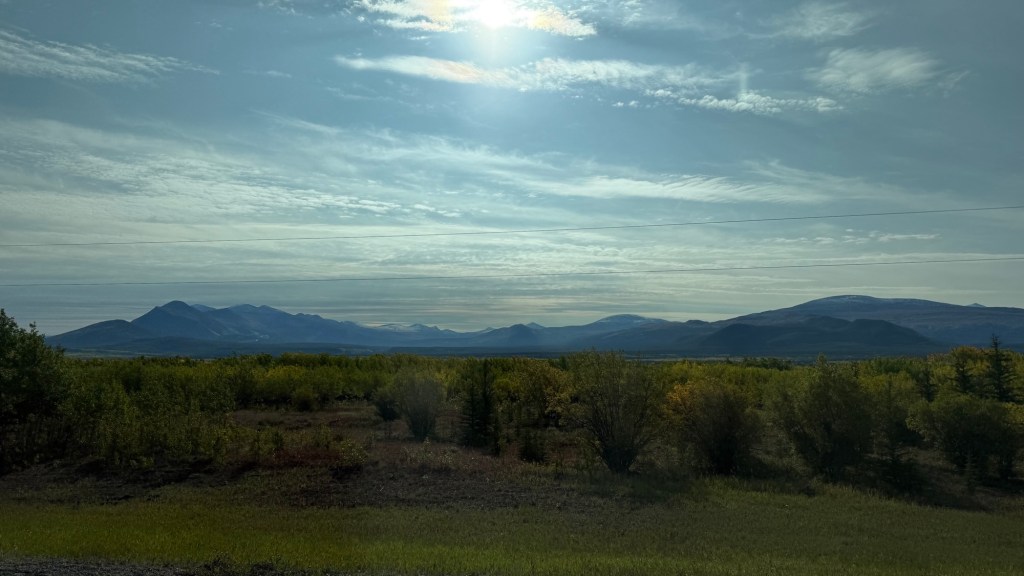
Day 27. We were only about an hour outside of Whitehorse when we left camp.
We needed to replenish some supplies, and the plan was to skip through Whitehorse and keep going.
The day was so sunny and warm, we decided to not rush through. Whitehorse is lovely.
We stayed at a city-run campground that is right on the edge of town. We’ve stayed here previously.
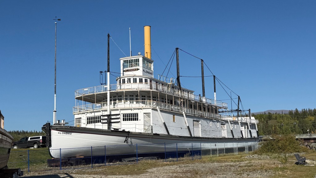
It’s mostly walk-in tent sites, but they have a few for campers and vans. Tonight we can see the Yukon River from our site. They also have amenities there, so it’s a comfortable, convenient stay. There is a walk you can do that they say is 2.5km from our site, across the river alongside the river, to where the Klondike Ship is, across the river again, and back down to our campsite.
What a gorgeous place.
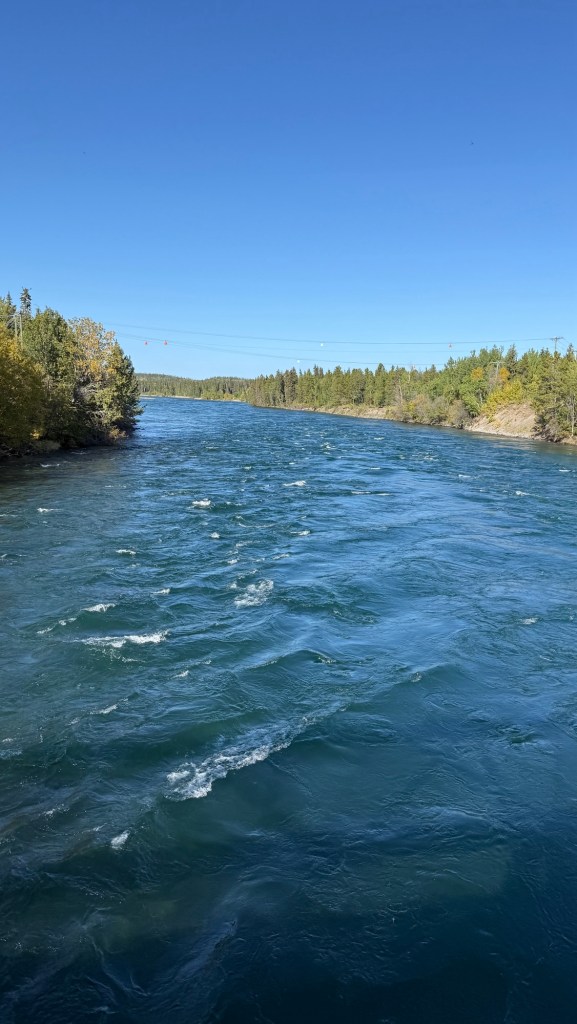
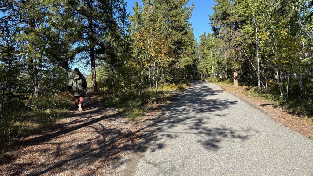
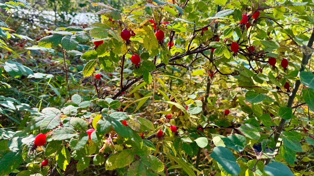
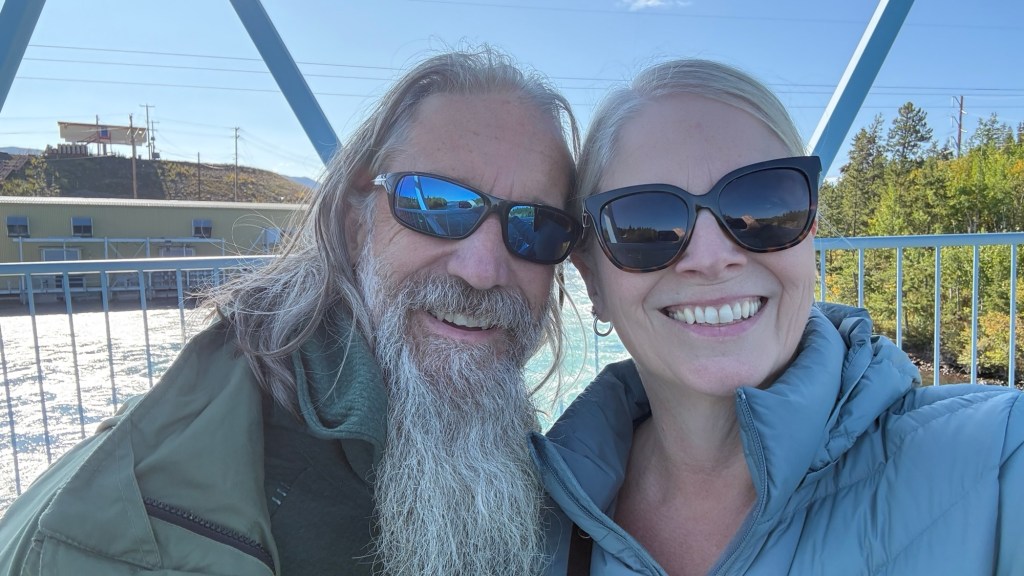
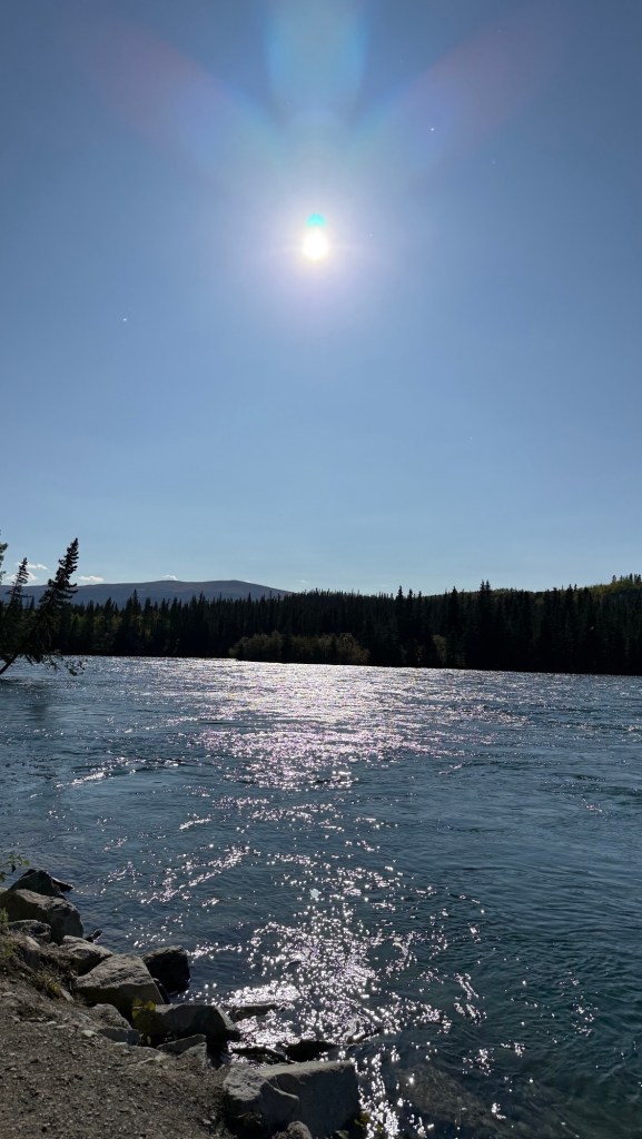
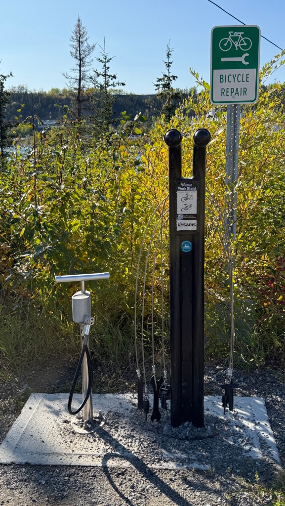
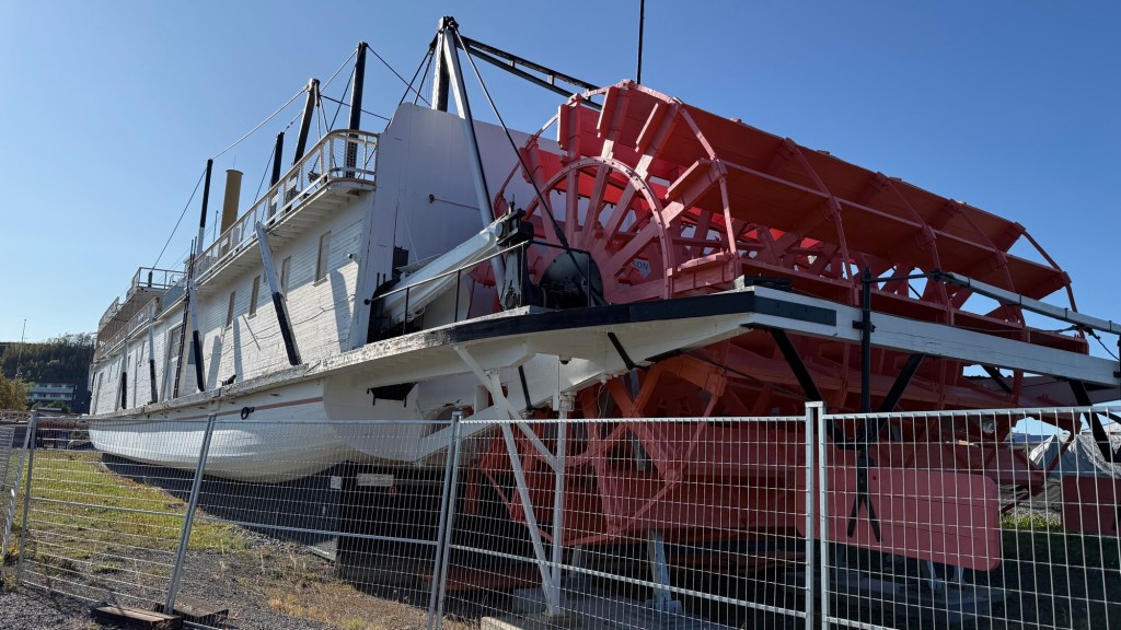
Back at the campsite, the Arctic ground squirrels are plentiful. There were dozens of these noisy little guys.
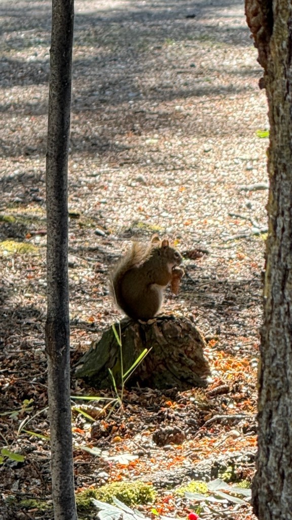
This time of year, these guys are doing the same as the ones at home. Stashing things away for winter. A couple of years ago, we’d watch them climb the trees and throw pinecones down. If you didn’t know better, you’d have thought they were throwing them AT you.
These guys are no different. Sitting in the cabin in the evening, there must have been 25 or so pinecones tossed on the roof of the cabin. It terrifies our dog Ryder. His whole body trembles, and he climbs into your lap and hides. Poor little guy.
This is the last weekend that this campsite is open. Guess it’s time to keep heading south.
Day 28. The weather is beautiful, and we headed off.
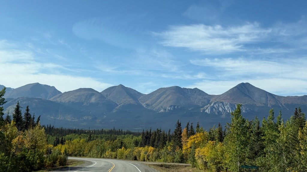
There were ‘special event’ signs just outside the campground, and the signs continued on for quite some time. Eventually, we saw a few runners; some were really young – like elementary age. Then some more… but they were really spead out. Having run a long-distance race ourselves, it seemed really spread out. Eventually we were farther than the distance of a marathon, and when we had wifi, I had to look it up. It was the 43rd annual Klondike Road Relay. It is a 175-kilometer overnight team relay that starts in Skagway, Alaska, and finishes in Whitehorse! What a cool event! People of all ages and sizes were participating.
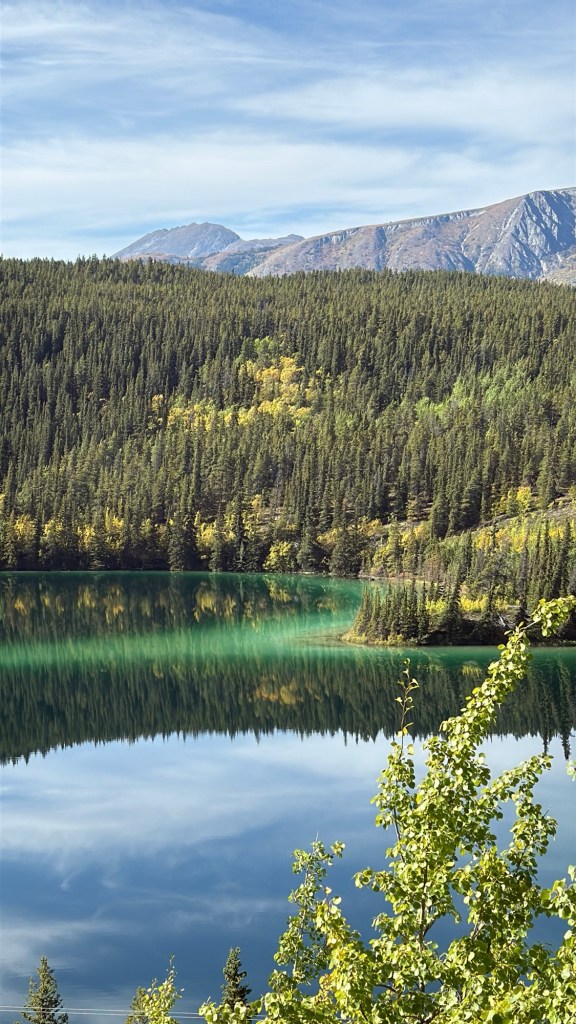
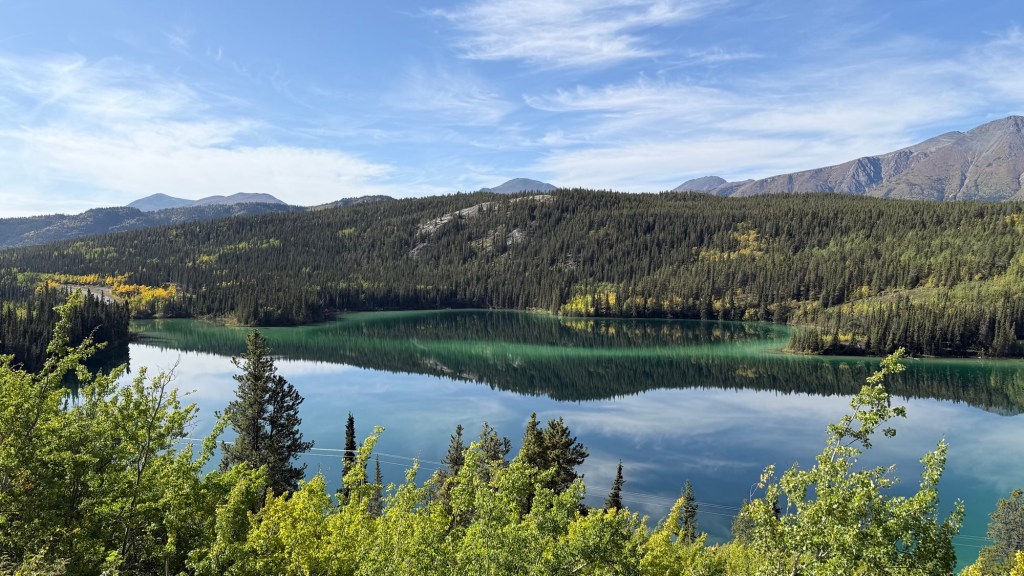
Next, we saw Emerald Lake. Why the Water is Green. The brilliant color comes from sunlight reflecting off white deposits of marl—a mixture of fine clay and calcium carbonate that settled on the shallow lake bed during the last ice age.
About 12 kilometers down the road is something really special. The Carcross Desert.
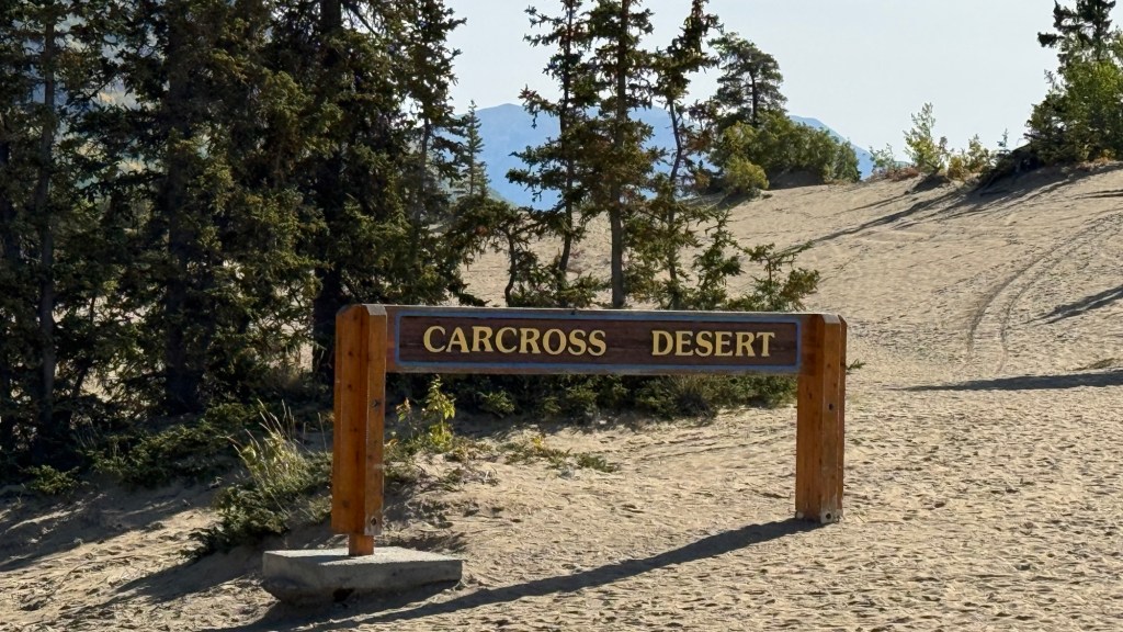
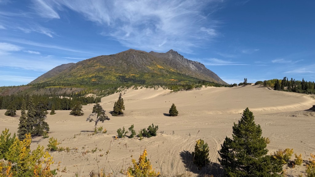
The Carcross Desert is a 2.5-square-kilometer northern sand dune field. The dunes are remnants of glacial activity from the last ice age. Silt and sand were left behind by ancient glacial lakes, and strong winds off nearby Bennett Lake continue to shape and shift the dunes.
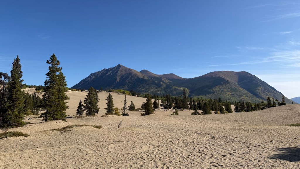
Although nicknamed the world’s smallest desert, the area gets too much precipitation to be classified as a desert. It was fun to walk and explore, and the dogs LOVED it. Harley was living her best life.
We really enjoyed the sights along this drive. Soon we were back in familiar territory and back on the Alaska Highway.
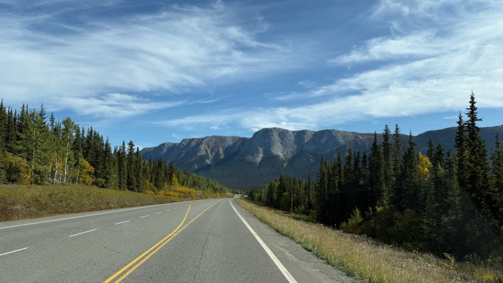
Not far from Teslin, Eric turned off onto a little unmarked gravel road. A couple of kilometers in, it opened up to a huge flat area. Perfect for the night.
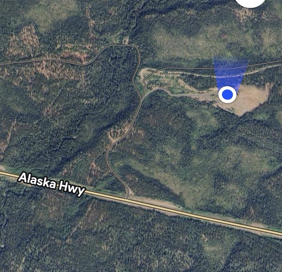
It would also be a perfect spot for the Northern Lights, but my hope is fading. We’ve got cloud cover again. I’ll still cross my fingers and check later.


Leave a Reply