
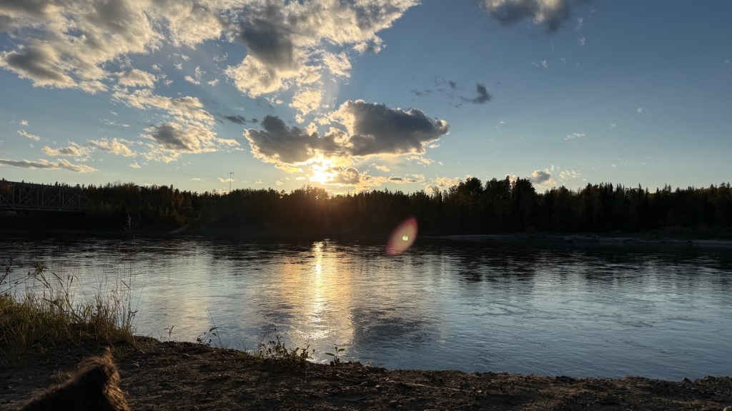
Days 29 and 30 – For the first time on this trip, we spent a couple of nights in the same place. Not just any place, though. We stayed here on our way up north and really liked the spot on the Upper Laird River that Eric found on iOverlander. The sun was bright, and the wind was also making itself known.
It was a nice change of pace, and it was also nice to get back on the road again and see more of our beautiful country.
A little something about the Laird River. It flows 1,115 kilometers southeast into British Columbia, then turns northeast through the Northwest Territories before emptying into the Mackenzie River at Fort Simpson.
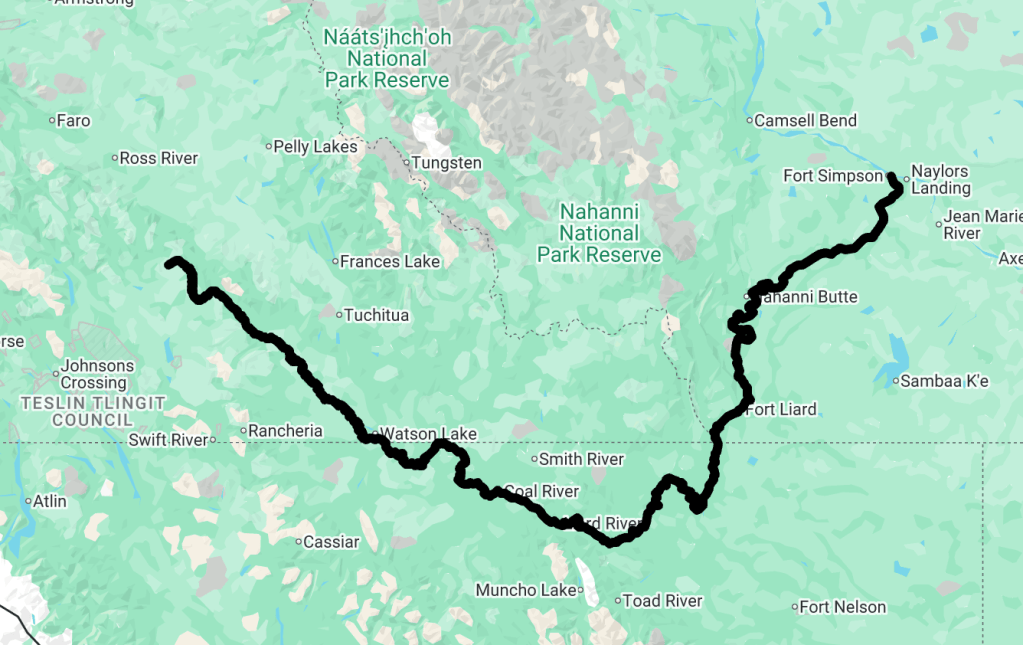
Day 31 – Back to BC
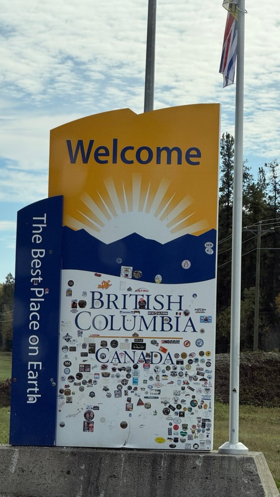
Back on the road, it was a short time later that we were back in BC from Watson Lake. We LOVED the Yukon and will most certainly return.
As we entered Lower Post, there were caution signs for Bison on the road. For 180km it said! Well, we’ve seen some pretty amazing wildlife so far – but not a lot. We scoffed at the sign and enjoyed the scenery.
Do our eyes deceive us??
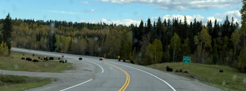
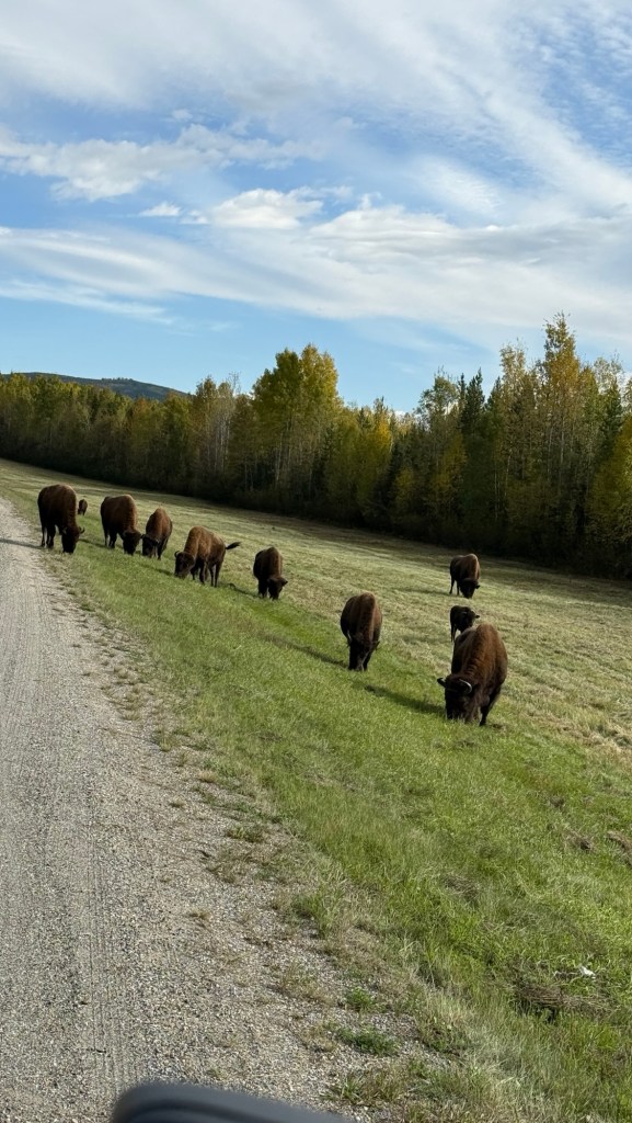
We came across about 50 head of Bison. They were HUGE. They look like such gentle giants.
They can weigh up to 2,000 lbs.
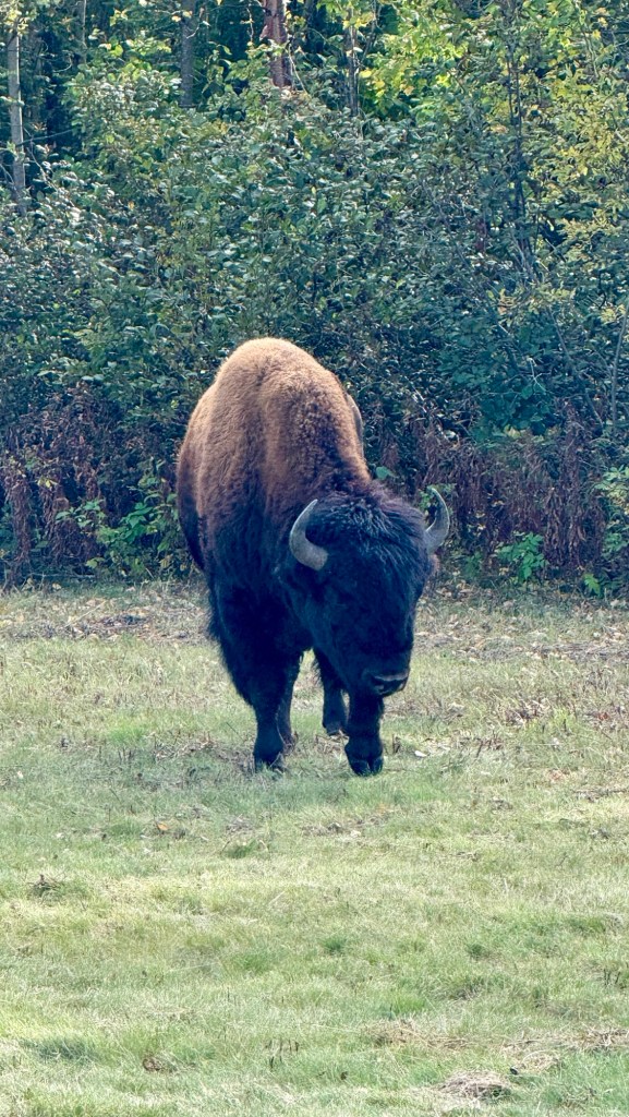
The Nordquist herd was reintroduced to the region in 1995. Because the highway cuts directly through their territory, they have become habituated to using the wide, cleared roadside shoulders as a primary grazing and travel corridor. There are 120-150 in the herd.
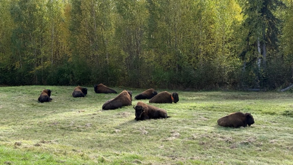
While the herd’s full biological home range covers over 470,000 hectares of wilderness, GPS tracking data indicates that they spend 72% of their time within just 100 meters of the Alaska Highway. Approximately 50 km down the road, we saw another 50 or more along the sides of the Alaska Highway. They really are spread out – and really remarkable. They have a commanding presence!
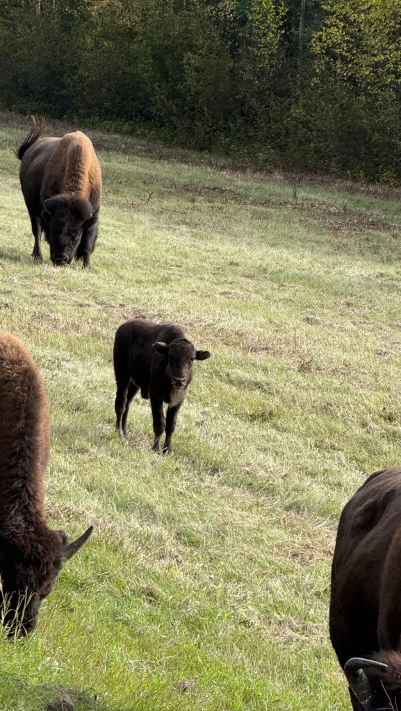
The Nordquist wood bison are legally protected. About 15-20% are killed by motor vehicles each year. 75% of those happen in the winter, when the Bison use the cleared roadway to travel to escape the snow drifts. To understand how dangerous the road is for them, scientists placed GPS tracking collars on a sample group of the bison. Between September 2021 and December 2025, 32% of those GPS-collared bison were killed by vehicles.
We were headed back into the mountains again – and the sun was welcomed. Eric found us a great place off the highway. If you turn up your volume, you can hear the river running in the background. It was a huge flat area, and another couple also stopped there for the night.
Day 32.
We’ve seen a few little black bears foraging along the embankment of the highway today – we admired them as we drove by.
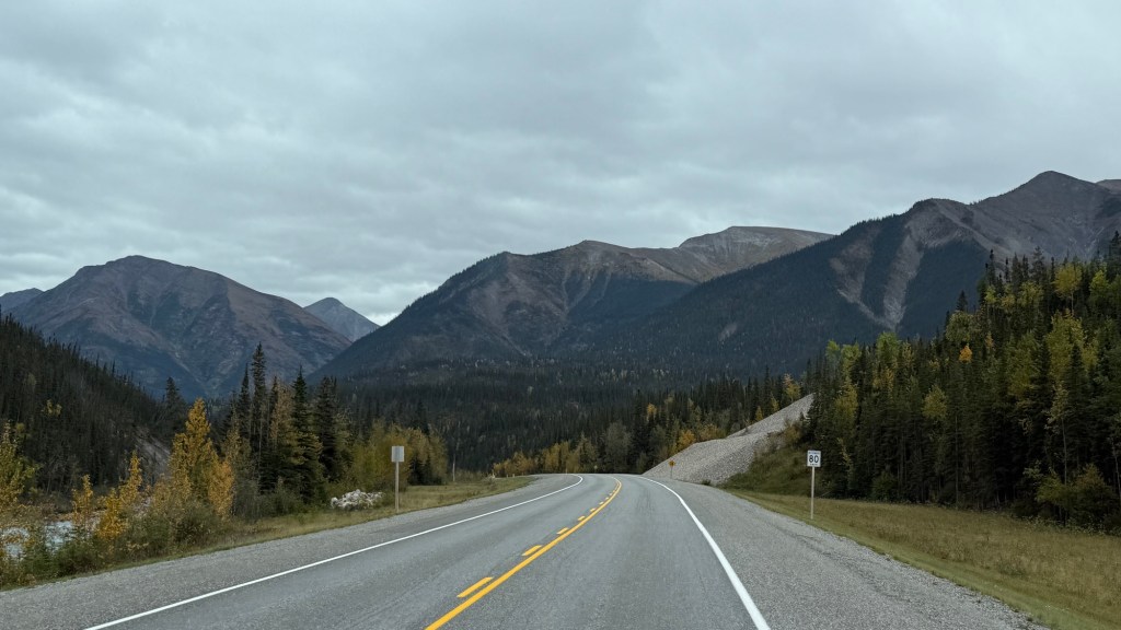
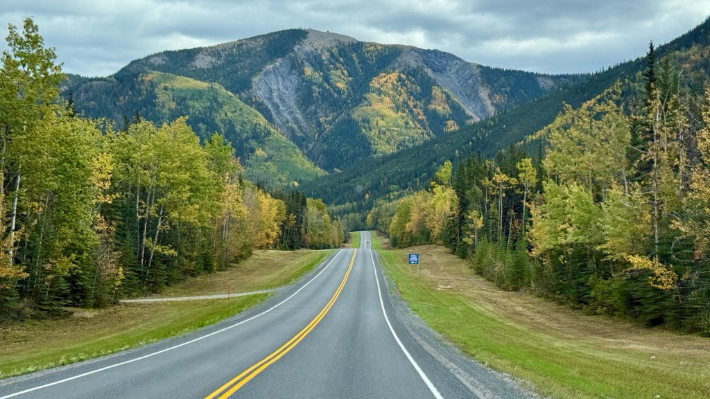
The mountains are in full view now, and they are stunning.
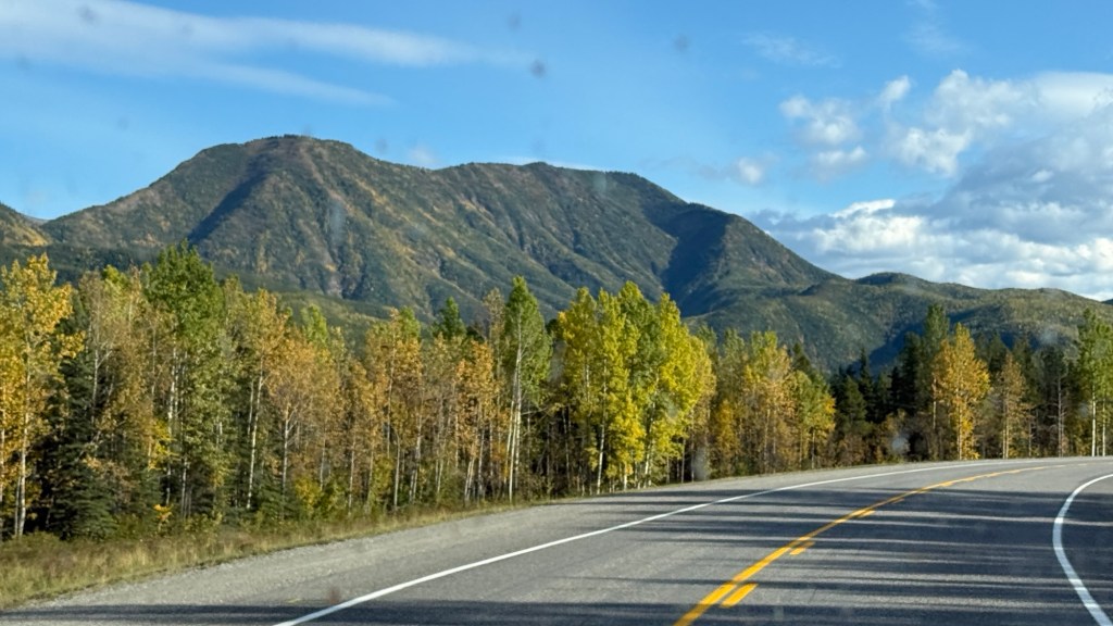
We are so glad we came this way. The 37 was beautiful coming up, and the 97 heading back is incredible. Eric says we’ve run out of words to express the beauty. We used all the English words; he’s used all the French words – and it still could never do it justice.
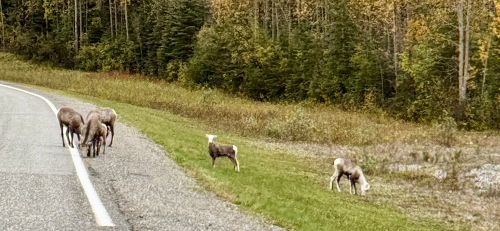
Early in our drive, we saw these guys. 
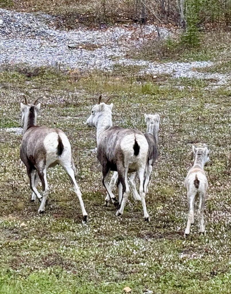
Stone’s Sheep can be seen along the highway where they come down to lick natural minerals off the roadside.
We actually spotted some further down the road as well. Clearly a good day for seeing wildlife.
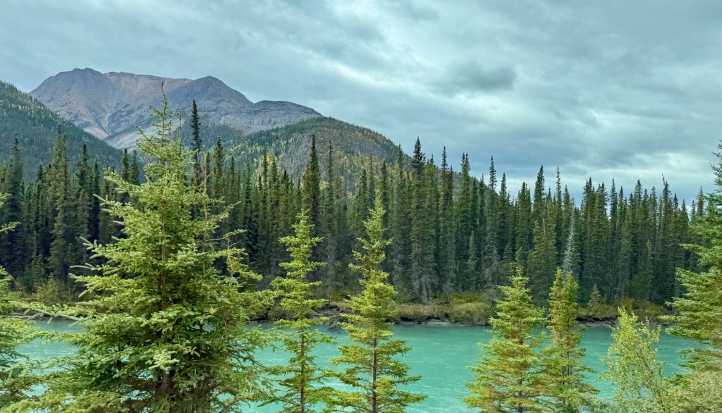
We carried on past the Trout River deeper into the mountains.
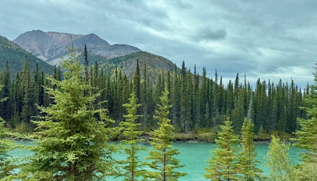
As we continued through Muncho Lake Park, we were getting closer to the lake itself. Muncho Lake is framed by the Terminal Range to the west, the Sentinel Range to the east, and the Muskwa Ranges in the Canadian Rockies. It is SPECTACULAR!
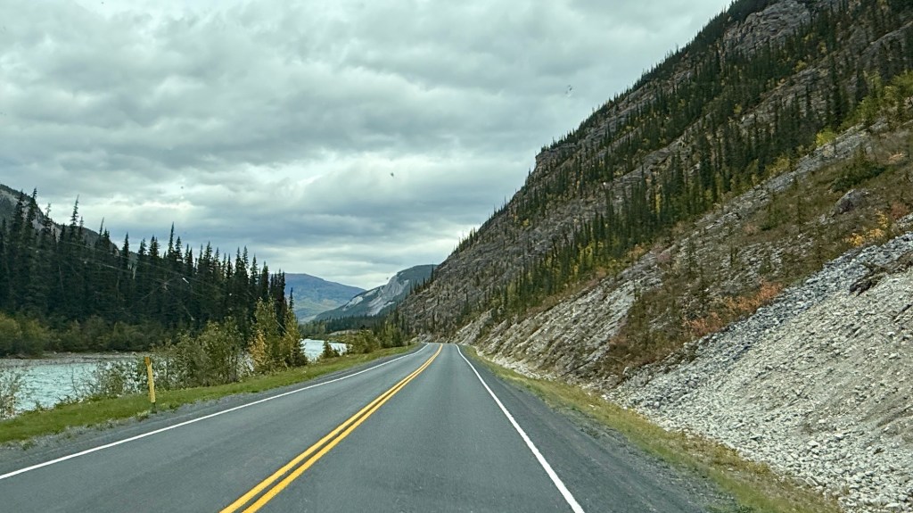
The areas of mountain runoff are like something we’ve never seen. Right now, these massive runoffs are dry as a bone. They have had heavy equipment in these runoffs to ensure the sides are high. It’s mind-boggling knowing that in the spring, water will rush through here to empty into Muncho Lake.
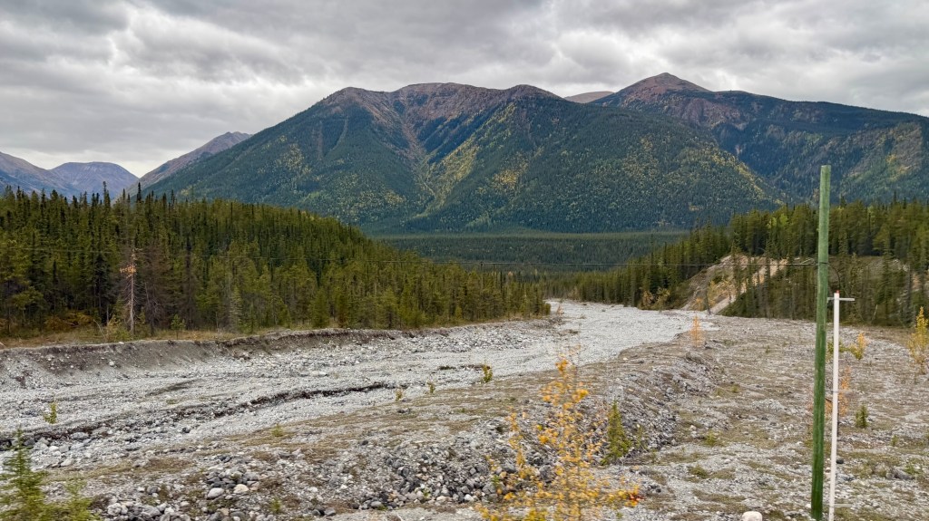
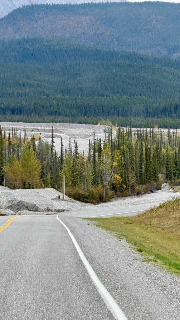
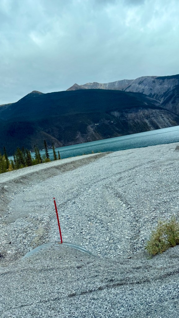
Just north of Muncho Lake is Boulder Canyon. There is an out-and-back hiking trail that we saw a couple starting on. We didn’t partake, but I took pictures!
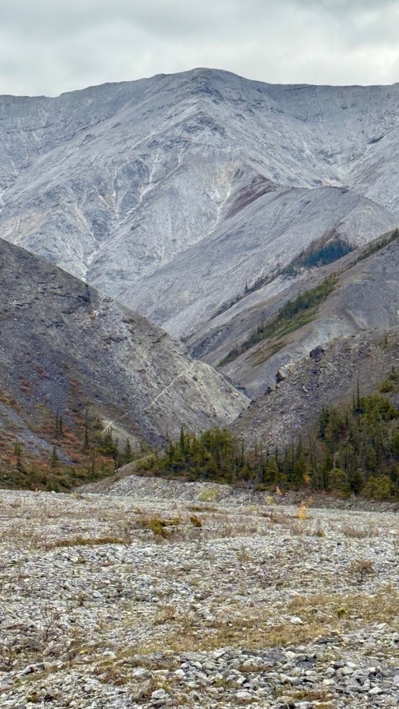
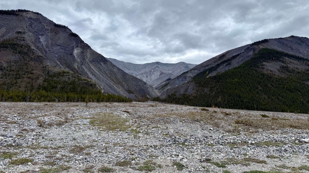
Then we finally spotted the lake in the distance. The vivid aqua-green color of the 12-kilometer-long lake comes from copper oxide and suspended rock flour reflecting the light. With the cloudy day we were having, it’s difficult to see the colour of the lake in these photos. Gorgeous nonetheless.
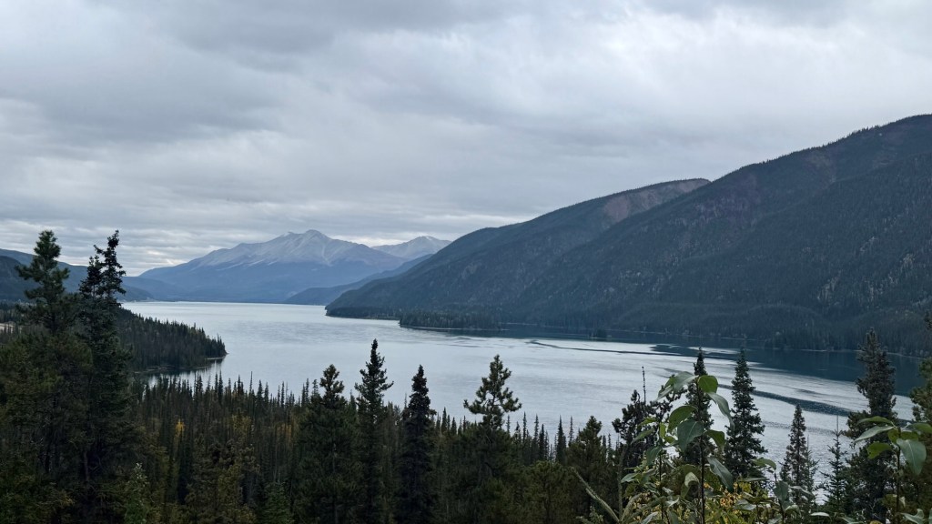
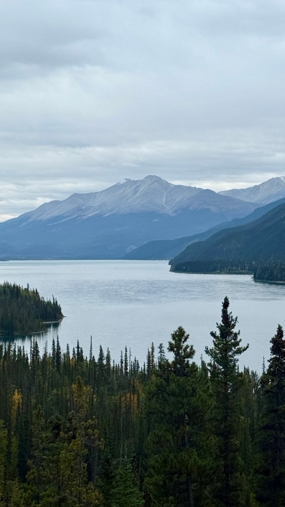
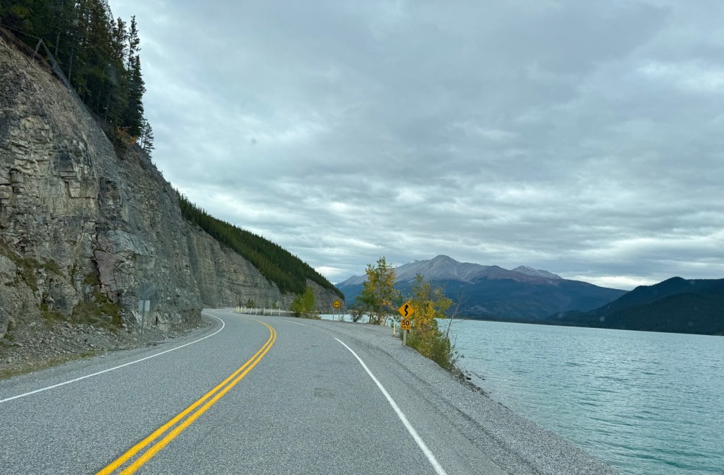
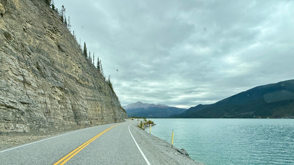
The highway runs directly alongside the lake. You can see in some areas, they’ve reinforced the edges of the lake that meet so closely to the edge of the highway.
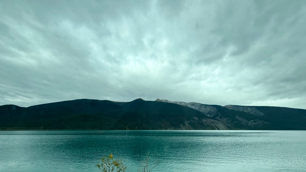
I’ve seen drone footage of the area – and honestly, it’s the most spectacular way to view it. It is, however, illegal to use a drone in a provincial park without a permit. Permission is rarely granted because federal regulations require keeping drones away from people and wildlife, which is difficult inside busy or sensitive park environments. Provincial regulations cover the land, and Federal regulations cover airspace.
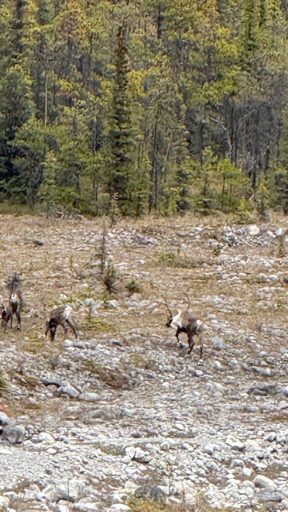
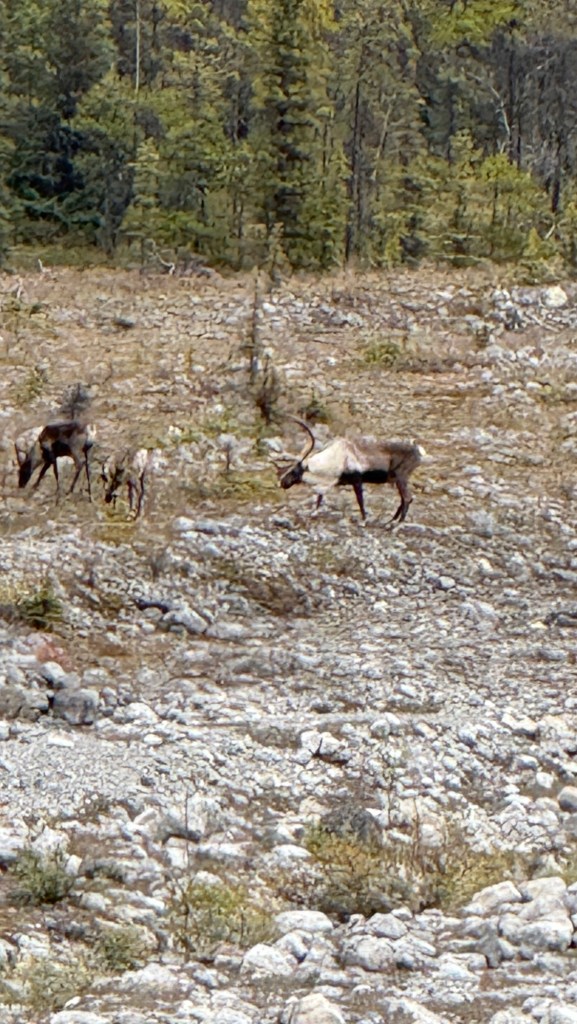
I’m always scanning the landscape for irregular colours and/or movement. I saw something on Eric’s side of the road, off into the landscape. Woodland Caribou! We’ve never seen Caribou before, and it was exciting to see a big male.
They were quite far away, and we watched them graze for a while.
As we pulled back onto the highway, just a few minutes down the road, More Stone’s Sheep.
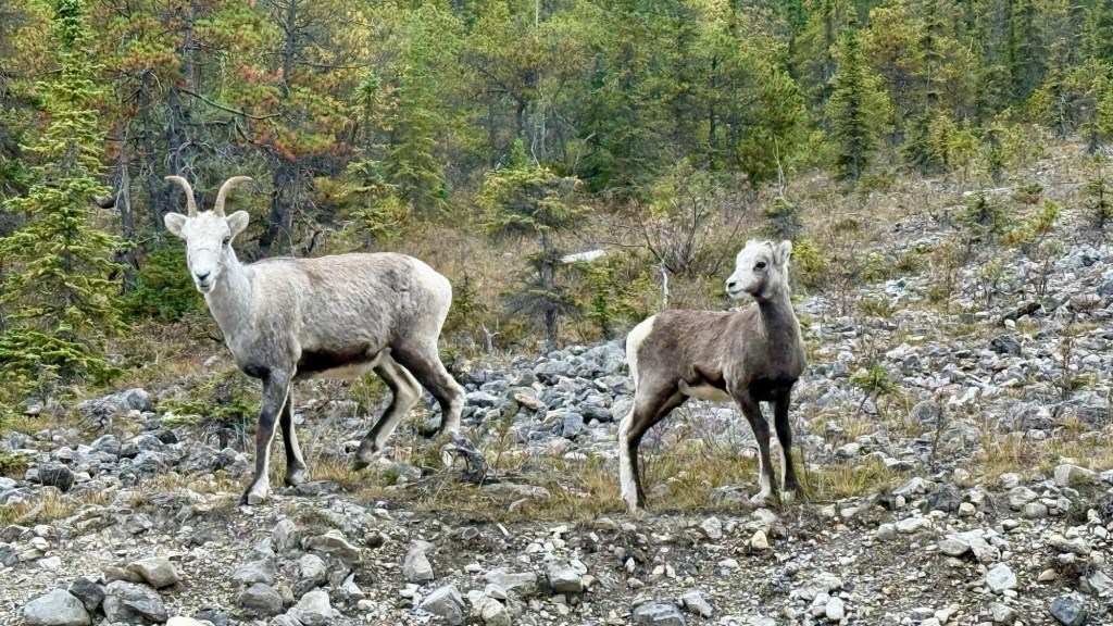
What an honour to see these animals in their own habitat.
Back on the road, we’re surrounded by spectacular mountain ranges,
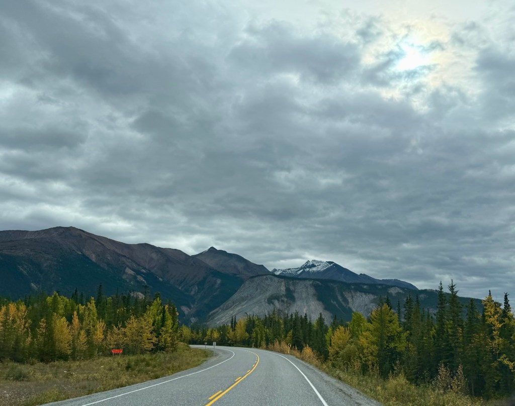
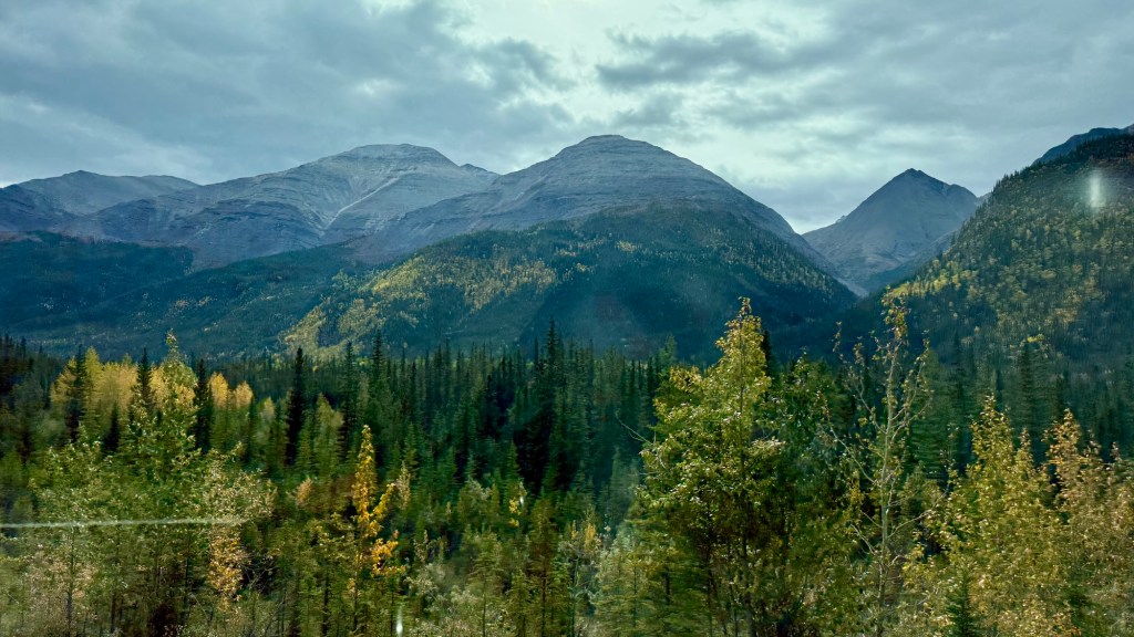
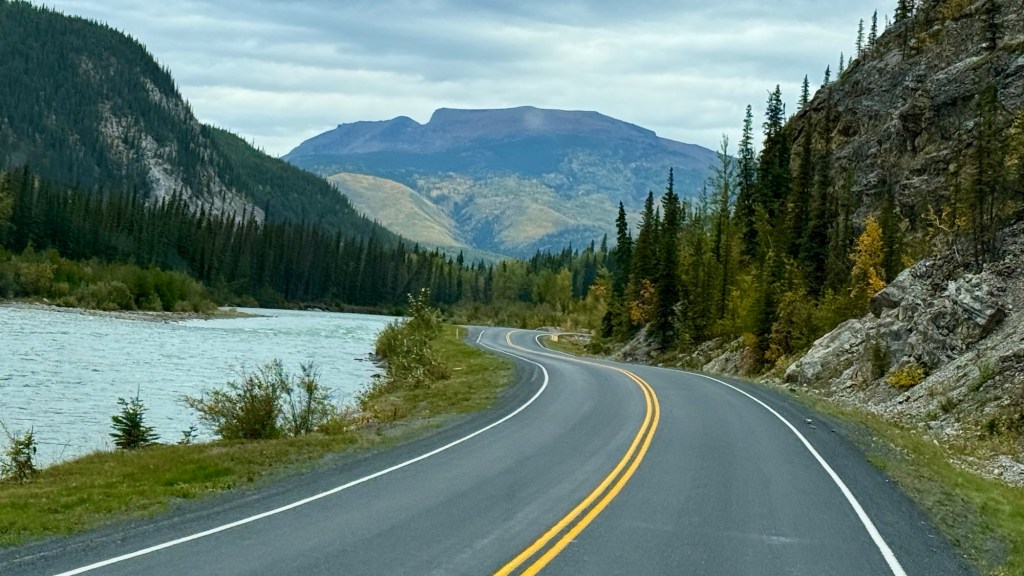
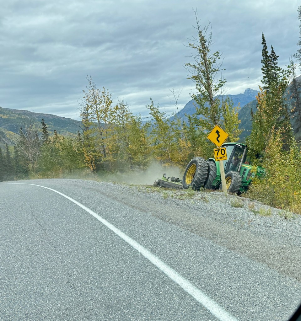
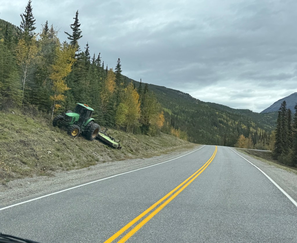
One of the great things about this highway is how far the land is cleared along the sides of the highway. It makes for seeing wildlife MUCH easier than shrub- and tree-lined highways. There is a lot of grooming going on right now in preparation for the winter. It is to ensure driver safety, manage heavy snowfall, and protect the vulnerable northern roadbed.
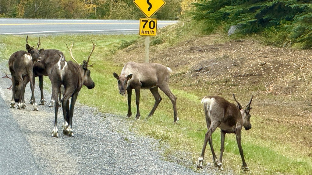
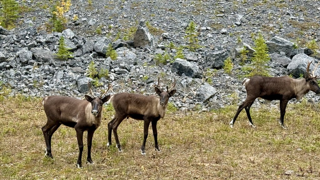
Luckily, we saw more Caribou! Many young fellas.
Neither Eric nor I have been to this part of BC, and we are quite taken with it. The landscape is forever changing, and it’s food for the soul, for certain.
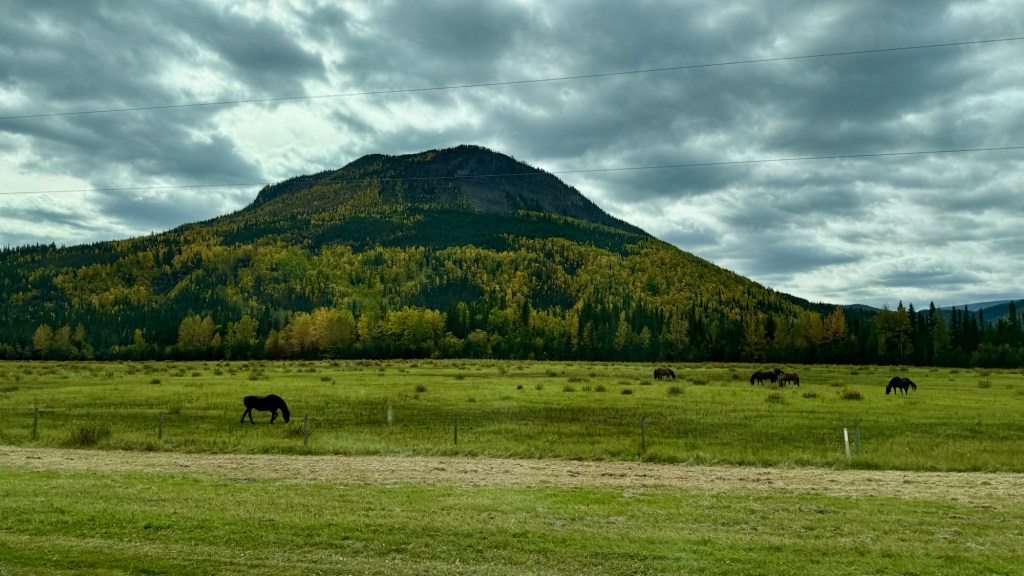
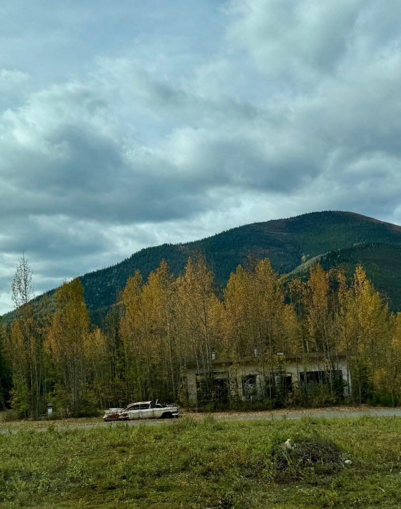
It’s surprising to see (overall on our trip so far) so many abandoned properties. Motels, gas stations, small communities. Just pulled up stakes and left. The buildings belong to someone, but it feels a bit sad to see places that perhaps were once self-sufficient and then left for whatever reasons, for the land to reclaim them.
In Stone Mountain Provincial Park, we saw a lot more Caribou grazing alongside the highway.
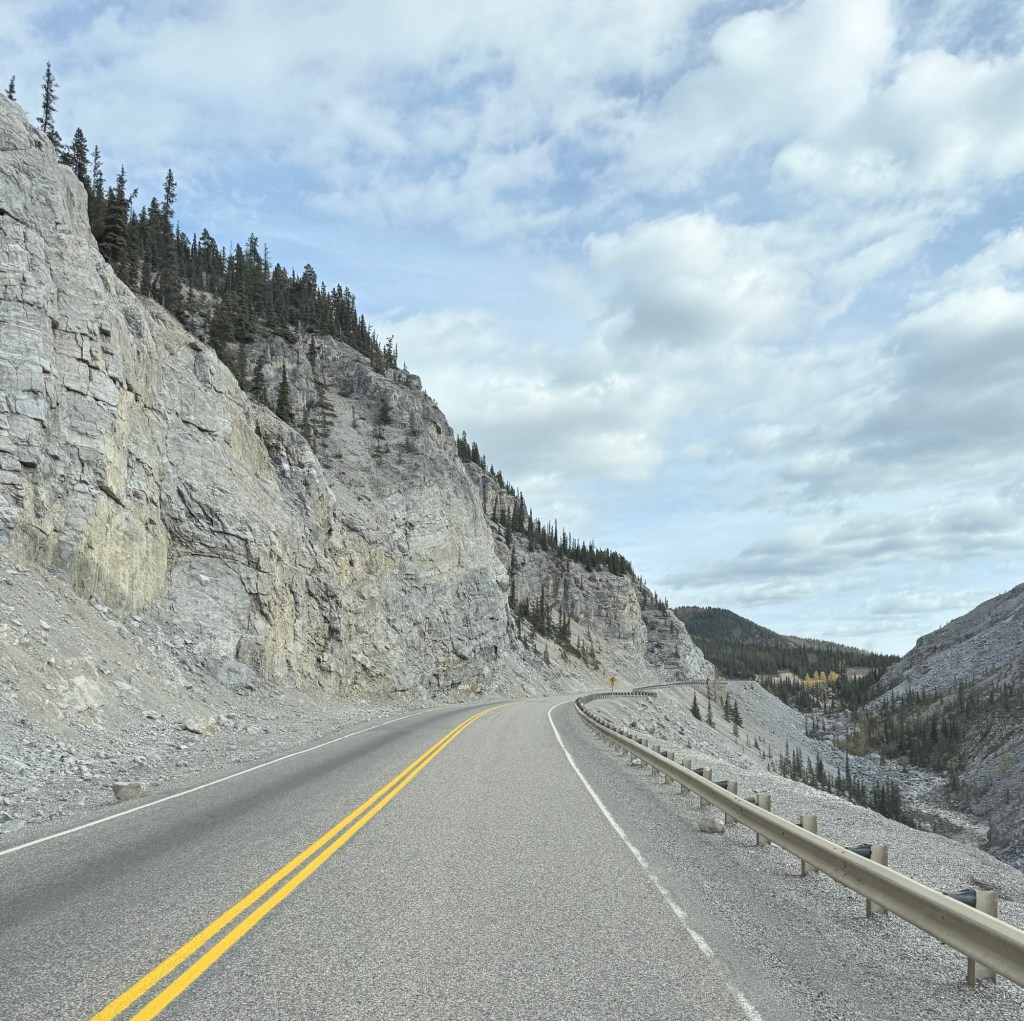
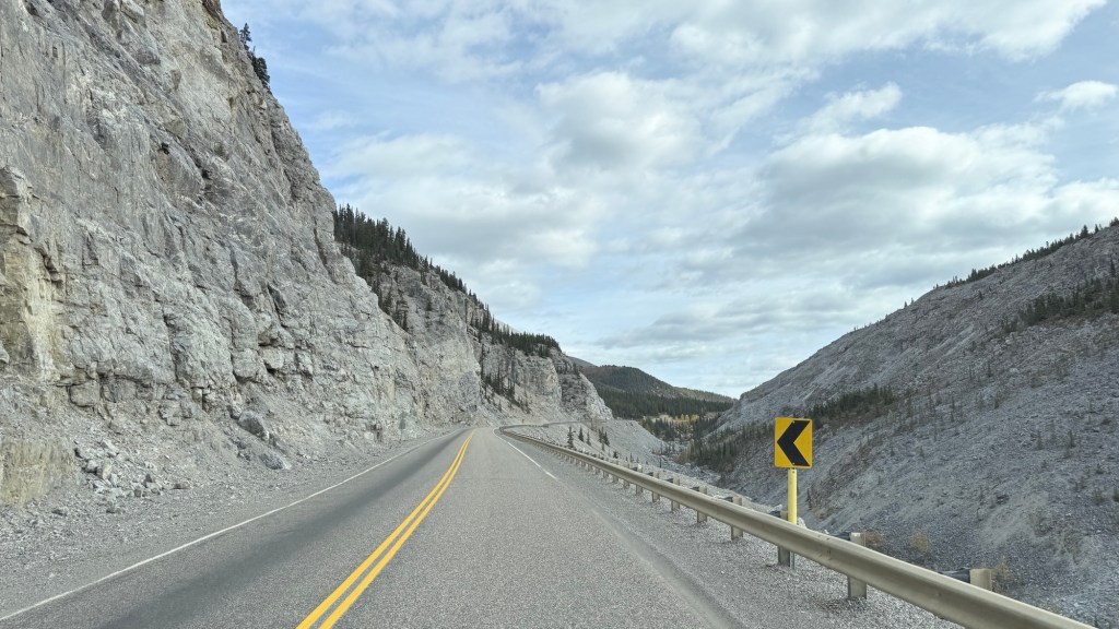
Some of the landscape here is pretty harrowing. The highway has literally been chiselled into the mountainside in some areas. The road is beautiful and narrow.
After all the excitement, we found a place to rest for the night.
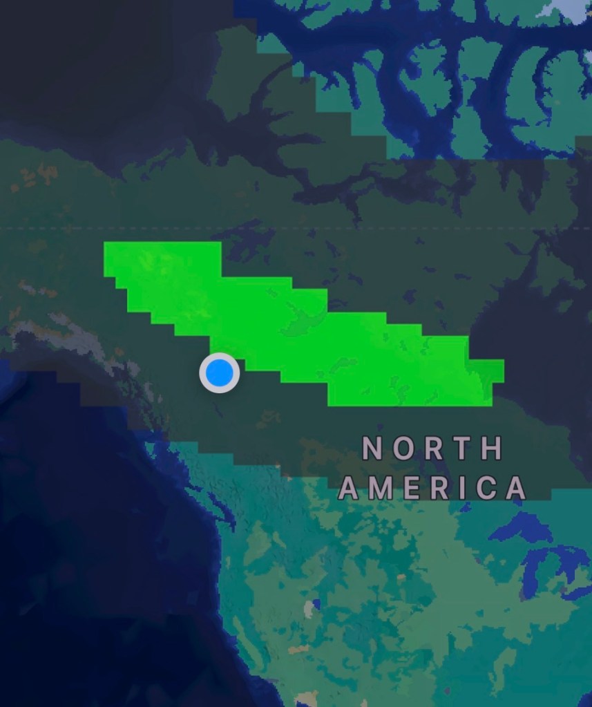
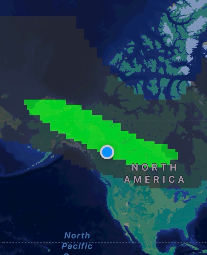
I’m still waiting to see if I can see the Northern Lights, but so far, it hasn’t been our time. We look almost every night, but rarely see anything of note.
Who knows, maybe tonight? Right now, it’s overcast – so we’ll see.


Leave a Reply